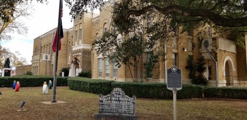
Pearsall in Frio County, Texas — The American South (West South Central)
Frio County
(Created 1858, Organized 1871)
Home of Pachal Indians before Spaniards arrived in Mexico (1519). First area explorer was Alonso de Leon, 1690, searching for Fort St. Louis founded by La Salle.
Upper Presidio Road - Artery of travel from Saltillo, Mexico, to East Texas - Crossed Frio River and became a King's Highway, 1720. Frio Town, first county seat, was located on the road, over which Santa Anna marched to destroy defenders of the Alamo in 1836.
County took name from Frio (a Spanish word which means "cold") River. The county seat moved to Pearsall 1883. Jail, built 1884, is the oldest building in town.
Erected 1968 by State Historical Survey Committee. (Marker Number 1542.)
Topics. This historical marker is listed in these topic lists: Exploration • Native Americans • War, Texas Independence. A significant historical year for this entry is 1690.
Location. 28° 53.318′ N, 99° 5.624′ W. Marker is in Pearsall, Texas, in Frio County. Touch for map. Marker is at or near this postal address: 500 East San Antonio Street, Pearsall TX 78061, United States of America. Touch for directions.
Other nearby markers. At least 8 other markers are within 14 miles of this marker, measured as the crow flies. Old Frio County Jail (about 400 feet away, measured in a direct line); Pearsall Presbyterian Church (about 500 feet away); 155 mm Howitzer (about 500 feet away); Frio Lodge No. 399, A.F.& A.M. (approx. 0.2 miles away); a different marker also named Frio County (approx. 3.2 miles away); Moore Cemetery (approx. 12.9 miles away); Moore Catholic Cemetery (approx. 12.9 miles away); Tehuacana Cemetery (approx. 13.9 miles away). Touch for a list and map of all markers in Pearsall.
Also see . . .
1. Pachal Indians. The Pachals seem to have been known to Spaniards by another name, Manos Blancos (white hands). Source: The Handbook of Texas (Submitted on December 17, 2020, by James Hulse of Medina, Texas.)
2. Alonso de Leon. Over the next two decades he led a series of entradas that traversed the northeast coast of New Spain as well as the banks of the Río de San Juan. Source: The Handbook of Texas (Submitted on December 17, 2020, by James Hulse of Medina, Texas.)
3. Old San Antonio Road. The Old San Antonio Road was also known as the Camino Real, the King's Highway, and the San Antonio-Nacogdoches Road. Source: The Handbook of Texas (Submitted on December 17, 2020, by James Hulse of Medina, Texas.)
Credits. This page was last revised on December 18, 2020. It was originally submitted on December 17, 2020, by James Hulse of Medina, Texas. This page has been viewed 192 times since then and 47 times this year. Photos: 1, 2. submitted on December 17, 2020, by James Hulse of Medina, Texas. • J. Makali Bruton was the editor who published this page.

