Hunt in Kerr County, Texas — The American South (West South Central)
Hunt
Photographed by Steve Henderson, November 20, 2010
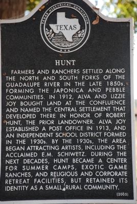
1. Hunt Marker
Farmers and ranchers settled along the north and south forks of the Guadalupe River in the late 1850s, forming the Japonica and Pebble communities. In 1912 Alva and Lizzie Joy bought land at the confluence and named the central settlement that developed there in honor of Robert Hunt, the prior landowner. Alva Joy established a post office in 1913, and an independent school district formed in the 1930s. By the 1930s the area began attracting artists, including the acclaimed E.M. Schiwetz. During the next decades, Hunt became a center for summer camps, exotic game ranches, and religious and corporate retreat facilities, but retained its identity as a small rural community.
Erected 2005 by Texas Historical Commission. (Marker Number 13037.)
Topics. This historical marker is listed in this topic list: Settlements & Settlers. A significant historical year for this entry is 1912.
Location. 30° 4.197′ N, 99° 19.892′ W. Marker is in Hunt, Texas, in Kerr County. It is on Hwy 39 just east of Hunt, on the right when traveling east. Touch for map. Marker is in this post office area: Hunt TX 78024, United States of America. Touch for directions.

Regionally, this marker is in the Hill Country. Globally, it is in North America, a Gulf of Mexico state, the Western Hemisphere, the Western World, and the Anglosphere. Historically, it finds itself in what was once New Spain, the Republic of Texas, and one of the Confederate States of America.
Other nearby markers. At least 8 other markers are within 6 miles of this marker, measured as the crow flies: Schumacher Crossing on the Guadalupe River (approx. 0.6 miles away); Hunt Japonica Cemetery (approx. 1.1 miles away); Site of Sherman's Mill (approx. 2.4 miles away); Henderson Cemetery (approx. 4.7 miles away); History of Stonehenge II (approx. 5 miles away); Old Ingram
this page online
Photographed by James Hulse, December 13, 2020
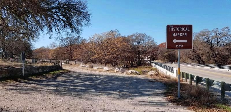
2. The Hunt Marker is located next to a small road pullout
Credits. This page was last revised on July 20, 2021. It was originally submitted on November 21, 2010, by Steve Henderson of Marble Falls, Texas. This page has been viewed 2,090 times since then and 113 times this year. Last updated on December 18, 2020, by James Hulse of Medina, Texas. Photos: 1. submitted on November 21, 2010, by Steve Henderson of Marble Falls, Texas. 2. submitted on December 18, 2020, by James Hulse of Medina, Texas. • J. Makali Bruton was the editor who published this page.
