Blacksburg in Montgomery County, Virginia — The American South (Mid-Atlantic)
Cemetery Landscape
— Historic Smithfield Plantation —
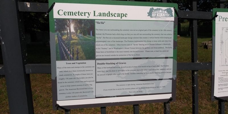
"Ha-Ha"
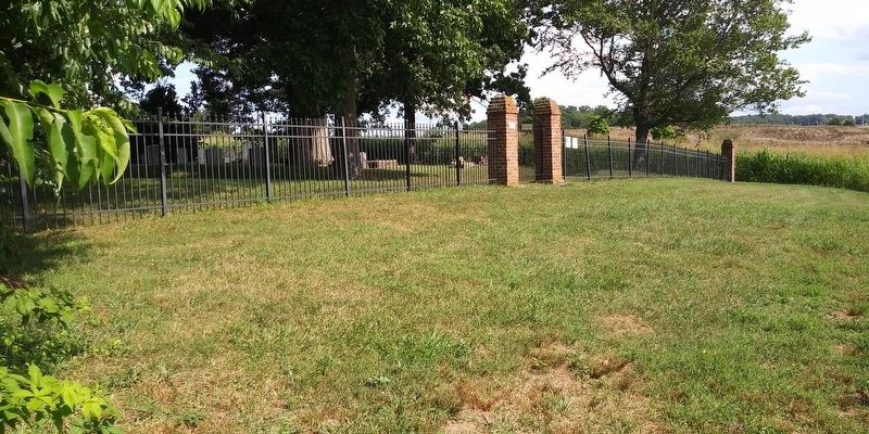
The fence you see surrounding the cemetery was not an original part of the cemetery in the 18th century.
Instead, the Prestons had a ditch dug out that you can still see surrounding the cemetery that was called a "ha-ha". Ha-Has are a recessed landscape design element that creates a vertical barrier while keeping an uninterrupted view of the landscape. The Prestons implemented this design to keep cattle and other livestock out of the cemetery. Other known uses of "ha-ha” fencing are at Thomas Jefferson's Monticello in his "fruitery” and at Washington's Mount Vernon between the gardens and sheep paddock. The ha-ha fence here at Smithfield is the most westerly one known to exist. Please note, at least two enslaved graves are located outside the protection of the ha-ha fence.
Double-Stacking of Graves
Many of the husband and wives, as well as sets of sisters were buried on top of each other. The Prestons most likely had this done to save space in the cemetery due to the rather small size of the cemetery, and just the amount of people who were in the family. Another reasoning for them double-stacking graves is because
Trees and Vegetation
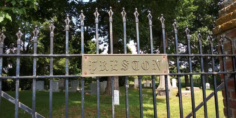
Many of the trees and stumps in the cemetery are oaks, which have been historically known to mark cemeteries. A couple of these trees are roughly 150 years old. Periwinkle can also be found in the cemetery which was used as ground cover to help control erosion of newly dug graves. The American Boxwood that is in the cemetery is also 150 years old. Boxwood's are another marker of cemeteries.
Erected by Historic Smithfield Plantation.
Topics. This historical marker is listed in this topic list: Cemeteries & Burial Sites.
Location. 37° 12.94′ N, 80° 25.661′ W. Marker is in Blacksburg, Virginia, in Montgomery County. Marker can be reached from Smithfield Plantation Road, 0.2 miles south of Smithfield Road, on the left when traveling south. On the grounds of the Historic Smithfield Plantation. South of the plantation along a treeline. Touch for map. Marker is in this post office area: Blacksburg VA 24060, United States of America. Touch for directions.
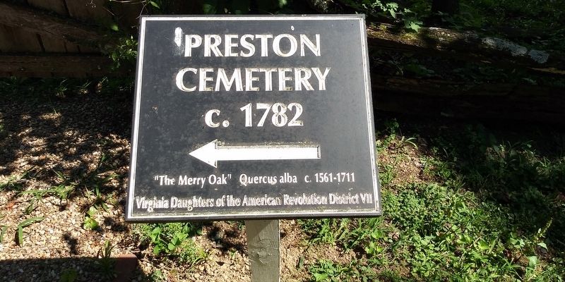
Other nearby markers. At least 8 other markers are within walking distance of this marker. Preston Cemetery (a few steps from this marker); Smithfield Blacksmith Shop (approx. ¼ mile away); William Ballard Preston (approx. ¼ mile away); Liberty and Justice for All (approx. ¼ mile away); Revolutionary War Patriots (approx. ¼ mile away); Site Of The Law Offices Of Wm. Ballard Preston (approx. ¼ mile away); 1820 Slave Cabin (approx. ¼ mile away); Slaves' Garden (approx. ¼ mile away). Touch for a list and map of all markers in Blacksburg.

via William Preston's Smithfield, unknown
5. William Preston's Smithfield
Historic Smithfield website entry
Click for more information.
Click for more information.
Credits. This page was last revised on March 2, 2022. It was originally submitted on December 19, 2020, by Craig Doda of Napoleon, Ohio. This page has been viewed 417 times since then and 28 times this year. Photos: 1, 2, 3, 4. submitted on December 19, 2020, by Craig Doda of Napoleon, Ohio. 5. submitted on March 2, 2022, by Larry Gertner of New York, New York. • Bernard Fisher was the editor who published this page.


