Pearisburg in Giles County, Virginia — The American South (Mid-Atlantic)
Revolutionary War Soldiers
Giles County
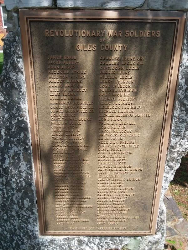
Photographed by Craig Doda, May 20, 2018
1. Giles County Revolutionary War Memorial
James Adair • Jacob Albert • John Alsup • Hezekiah Atkins • Milliton Atkins • Parker Atkins • James Bane Jr. • William Bradley • Lowe Brown • William Brown • Humphrey Brumfield • James Brumfield Jr. • James Brumfield Sr. • John Burke • Capt. Thomas Burke • Willtam Burke • John Burton • John Carr Jr. • Simon Cassidy • Thomas Cassidy • Isac Chapman • John Chapman Sr. • Richard Chapman • David Clay • Ezekial Clay • Mitchell Clay Sr. • Robert Clendenin • Thomas Copley • James Emmons • Thomas Farley Jr. • Thomas Farley Sr. • John French • Matthew French • George Fry Jr. • George Fry Sr. • Edward Hale • Joseph Hare • Ferdinand Harless • Andrew Hatfield • Isaac Hatfield • Capt. John Henderson • Robert hunter • James Johnston • James Kerr • Robert Kerr • Andrew Kessinger • John Kirk • Charles Lucas Jr. • Charles Lucas Sr. • Capt. John Lucas • Parker Lucas • William Lucas • Henry Lybrook • John Lybrook • Paulser Lybrook • John McGriff • Thomas McGriff • Isaac McKinsey • Mcredock McKinsey • Michael Madden • Michael Madden's Croper • John Mann • Thomas Marenzll • John Martin • Jacob Meadows • Capt. George Pearis • John Peters •
this page online
Erected 1978 by Giles Bicentennial Commission.
Topics. This memorial is listed in this topic list: War, US Revolutionary.
Location. 37° 19.602′ N, 80° 44.075′ W. Memorial is in Pearisburg, Virginia, in Giles County. It is at the intersection of Wenonah Avenue (Business U.S. 460) and North Main Street, on the left when traveling east on Wenonah Avenue. On the grounds of the Giles County Court House. Touch for map. Memorial is in this post office area: Pearisburg VA 24134, United States of America. Touch for directions.

Regionally, this memorial is in Southwest Virginia, in the Blue Ridge Highlands, and in the New River Gorge.
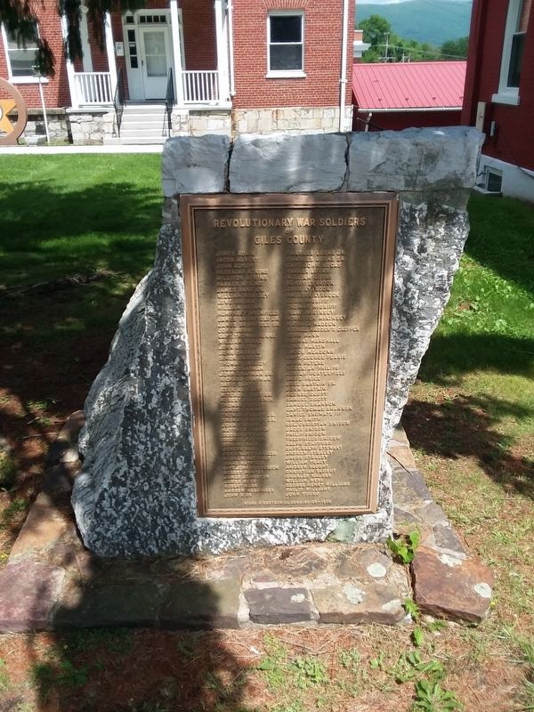
Photographed by Craig Doda, May 20, 2018
2. Giles County Revolutionary War Memorial
Other nearby markers. At least 8 other markers are within 2 miles of this marker, measured as the crow flies: Giles County War Memorial (within shouting distance of this marker); Giles County Confederate Monument (within shouting distance of this marker); Pearisburg (within shouting distance of this marker); McClaugherty Mill Stone (within shouting distance of this marker); Andrew Johnston House (about 700 feet away, measured in a direct line); Stepping Stone (about 800 feet away); Grist Mill Stones (approx. 0.2 miles away); First Court of Giles County (approx. 1.3 miles away). Touch for a list and map of all markers in Pearisburg.
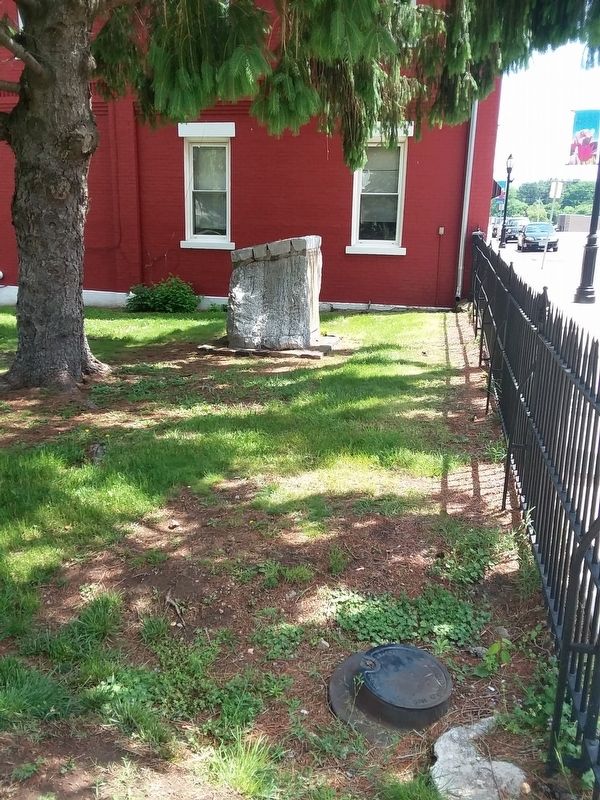
Photographed by Craig Doda, May 20, 2018
3. Giles County Revolutionary War Memorial
Credits. This page was last revised on May 2, 2026. It was originally submitted on December 19, 2020, by Craig Doda of Napoleon, Ohio. This page has been viewed 2,764 times since then and 188 times this year. Photos: 1, 2, 3. submitted on December 19, 2020, by Craig Doda of Napoleon, Ohio. • Bernard Fisher was the editor who published this page.
