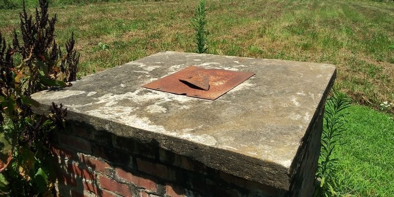
Ararat in Patrick County, Virginia — The American South (Mid-Atlantic)
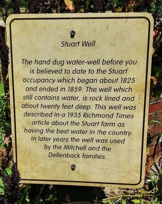
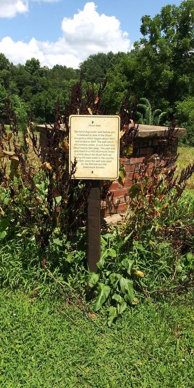
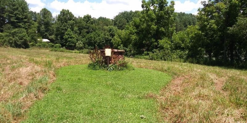
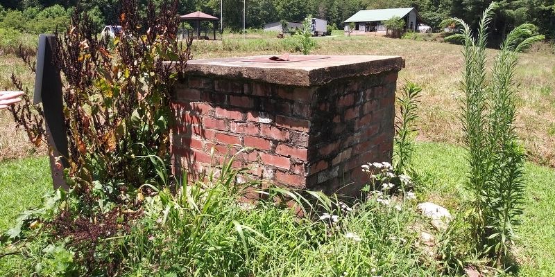
Stuart Well
Topics. This historical marker is listed in these topic lists: Agriculture • Architecture. A significant historical year for this entry is 1825.
Location. 36° 34.05′ N, 80° 33.3′ W. Marker is in Ararat, Virginia, in Patrick County. Marker can be reached from Letcher Lane (Virginia Route 749) half a mile west of Ararat Highway (Virginia Route 773), on the right when traveling west. On the grounds of the William Letcher Home Site. Touch for map. Marker is in this post office area: Ararat VA 24053, United States of America. Touch for directions.
Other nearby markers. At least 8 other markers are within walking distance of this marker. William Letcher (within shouting distance of this marker); Life after William Letcher (within shouting distance of this marker); Finding William Letcher's Home (within shouting distance of this marker); William A. Mitchell Family (within shouting distance of this marker); The Dellenback Family (within shouting distance of this marker); The Grave of William Letcher (within shouting distance of this marker); The William Letcher Grave (within shouting distance of this marker); Elizabeth Stuart's Boxwoods (within shouting distance of this marker). Touch for a list and map of all markers in Ararat.
Credits. This page was last revised on December 20, 2020. It was originally submitted on December 19, 2020, by Craig Doda of Napoleon, Ohio. This page has been viewed 87 times since then and 12 times this year. Photos: 1, 2, 3, 4, 5. submitted on December 19, 2020, by Craig Doda of Napoleon, Ohio. • Bernard Fisher was the editor who published this page.
