Near Ewing in Lee County, Virginia — The American South (Mid-Atlantic)
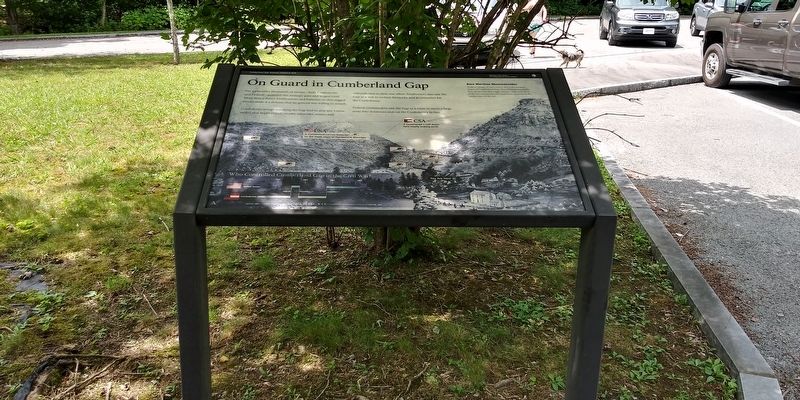
On Guard in Cumberland Gap
— Cumberland Gap National Historical Park —
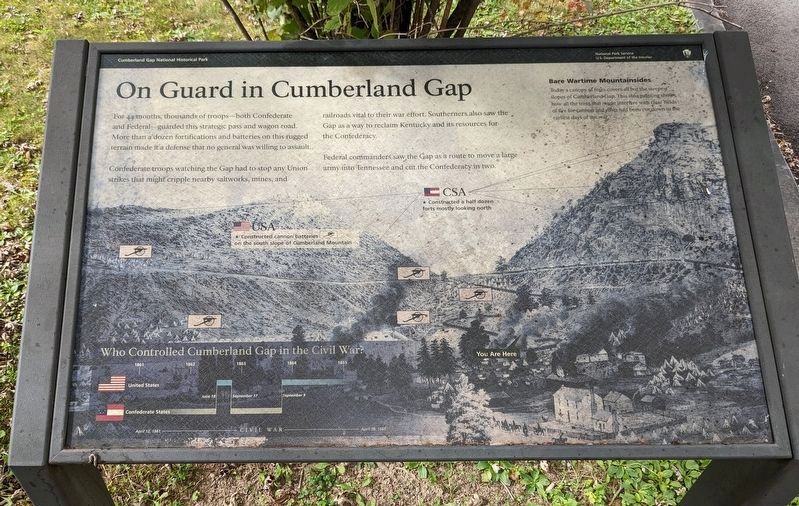
For 44 months, thousands of troops—both Confederate and Federal—guarded this strategic pass and wagon road. More than a dozen fortifications and batteries on this rugged terrain made it a defense that no general was willing to assault.
Confederate troops watching the Gap had to stop any Union strikes that might cripple nearby saltworks, mines, and railroads vital to their war effort. Southerners also saw the Gap as a way to reclaim Kentucky and its resources for the Confederacy.
Federal commanders saw the Gap as a route to move a large army into Tennessee and cut the Confederacy in two.
Bare Wartime Mountainsides
Today a canopy of trees covers all but the steepest slopes of Cumberland Gap. This 1862 painting shows how all the trees that might interfere with clear fields of fire for cannon and rifles had been cut down in the earliest days of the war.
Erected by National Park Service, U.S. Department of the Interior.
Topics. This historical marker is listed in these topic lists: Railroads & Streetcars • War, US Civil. A significant historical year for this entry is 1862.
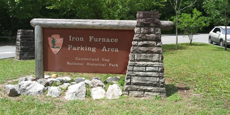
Location. 36° 36.046′ N, 83° 40.163′ W. Marker is near Ewing, Virginia, in Lee County. Marker is on Pennlyn Road west of Llewelyn Street, on the right when traveling west. Located at the Iron Furnace Parking Area which can be reached from Cumberland Gap, Tennessee. Touch for map. Marker is in this post office area: Ewing VA 24248, United States of America. Touch for directions.
Other nearby markers. At least 8 other markers are within walking distance of this marker. Gateway to Kaintuck (within shouting distance of this marker); Hiking in the Gap (within shouting distance of this marker); Three States Cornerstone (about 300 feet away, measured in a direct line in Tennessee); Iron Furnace (about 400 feet away); Russell Berkau 1867 - 1936 (about 500 feet away in Tennessee); Warriors' Path (about 600 feet away); Hard Road to a New Life (about 800 feet away); Gap Cave (approx. 0.2 miles away). Touch for a list and map of all markers in Ewing.
Also see . . . Cumberland Gap National Historical Park. National Park Service (Submitted on December 22, 2020.)
Credits. This page was last revised on October 6, 2022. It was originally submitted on December 20, 2020, by Craig Doda of Napoleon, Ohio. This page has been viewed 255 times since then and 27 times this year. Last updated on October 5, 2022. Photos: 1. submitted on October 5, 2022. 2, 3. submitted on December 20, 2020, by Craig Doda of Napoleon, Ohio. • Devry Becker Jones was the editor who published this page.


