Battle of Cloyd's Farm
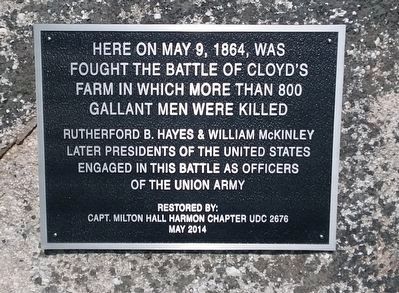
Here on May 9, 1864, was fought the Battle of Cloyd's Farm in which more than 800 gallant men were killed.
Rutherford B. Hayes & William McKinley later presidents of the United States engaged in this battle as officers of the Union Army.
Erected 2014 by Capt. Milton Hall Harmon Chapter UDC 2676.
Topics and series. This historical marker is listed in this topic list: War, US Civil. In addition, it is included in the Former U.S. Presidents: #19 Rutherford B. Hayes, and the Former U.S. Presidents: #25 William McKinley series lists. A significant historical date for this entry is May 9, 1864.
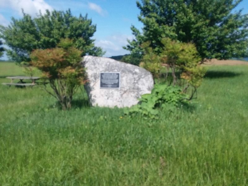
Location. 37° 7.724′ N, 80° 41.678′ W. Marker is in Dublin, Virginia, in Pulaski County. Marker is at the intersection of Cleburne Boulevard (Virginia Route 100) and International Boulevard (County Route 790), on the right when traveling south on Cleburne Boulevard. Touch for map. Marker is in this post office area: Dublin VA 24084, United States of America. Touch for directions.
Other nearby markers. At least 8 other markers are within 4 miles of this marker, measured as the crow flies. Rearguard Action (a few steps from this marker); Battle of Cloyd's Mountain (within shouting distance of this marker); New Dublin Presbyterian Church (approx. 0.4 miles away); New River Ordnance Plant (approx. 2 miles away);
Credits. This page was last revised on January 1, 2021. It was originally submitted on December 20, 2020, by Craig Doda of Napoleon, Ohio. This page has been viewed 500 times since then and 86 times this year. Photos: 1, 2. submitted on December 20, 2020, by Craig Doda of Napoleon, Ohio. • Bernard Fisher was the editor who published this page.

