
Pulaski in Pulaski County, Virginia — The American South (Mid-Atlantic)
Pulaski County Revolutionary War Memorial
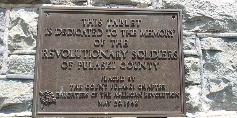
Photographed by Craig Doda, July 25, 2020
1. Pulaski County Revolutionary War Memorial
Erected 1942 by the County Pulaski Chapter Daughters of the American Revolution.
Topics and series. This memorial is listed in this topic list: War, US Revolutionary. In addition, it is included in the Daughters of the American Revolution (DAR) series list.
Location. 37° 2.883′ N, 80° 46.867′ W. Memorial is in Pulaski, Virginia, in Pulaski County. It can be reached from 2nd Street NW / West Main Street (Virginia Route 99) west of Lee Highway (U.S. 11), on the left when traveling east. On the grounds of the Historic Pulaski County Courthouse. Touch for map. Memorial is at or near this postal address: 52 W Main St, Pulaski VA 24301, United States of America. Touch for directions.

Regionally, this memorial is in Southwest Virginia, in the Blue Ridge Highlands, and in the New River Gorge. It is also in the American South, specifically in the Upper South, in Appalachia, and specifically in Southern Appalachia. Globally, it is in North America, the Western Hemisphere, the Western
this page online
Other nearby markers. At least 8 other markers are within walking distance of this marker: Thorton Lemmon Massie (here, next to this marker); Lest We Forget (a few steps from this marker); Pulaski Veterans Memorial (a few steps from this marker); Pulaski County War Memorial (a few steps from this marker); Pulaski County Courthouse (a few steps from this marker); Vietnam Veterans Memorial (about 500 feet away, measured in a direct line); Veterans Memorial Bridge (about 500 feet away); Pulaski (about 600 feet away). Touch for a list and map of all markers in Pulaski.
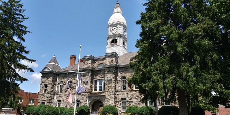
Photographed by Craig Doda, July 25, 2020
2. Historic Pulaski County Courthouse
Credits. This page was last revised on December 22, 2020. It was originally submitted on December 20, 2020, by Craig Doda of Napoleon, Ohio. This page has been viewed 322 times since then and 19 times this year. Photos: 1, 2. submitted on December 20, 2020, by Craig Doda of Napoleon, Ohio. • Bernard Fisher was the editor who published this page.
