Downtown Oakland in Alameda County, California — The American West (Pacific Coastal)
1920 Moving the World's Cargo
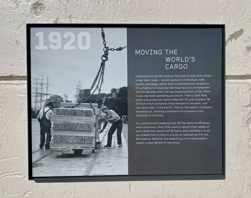
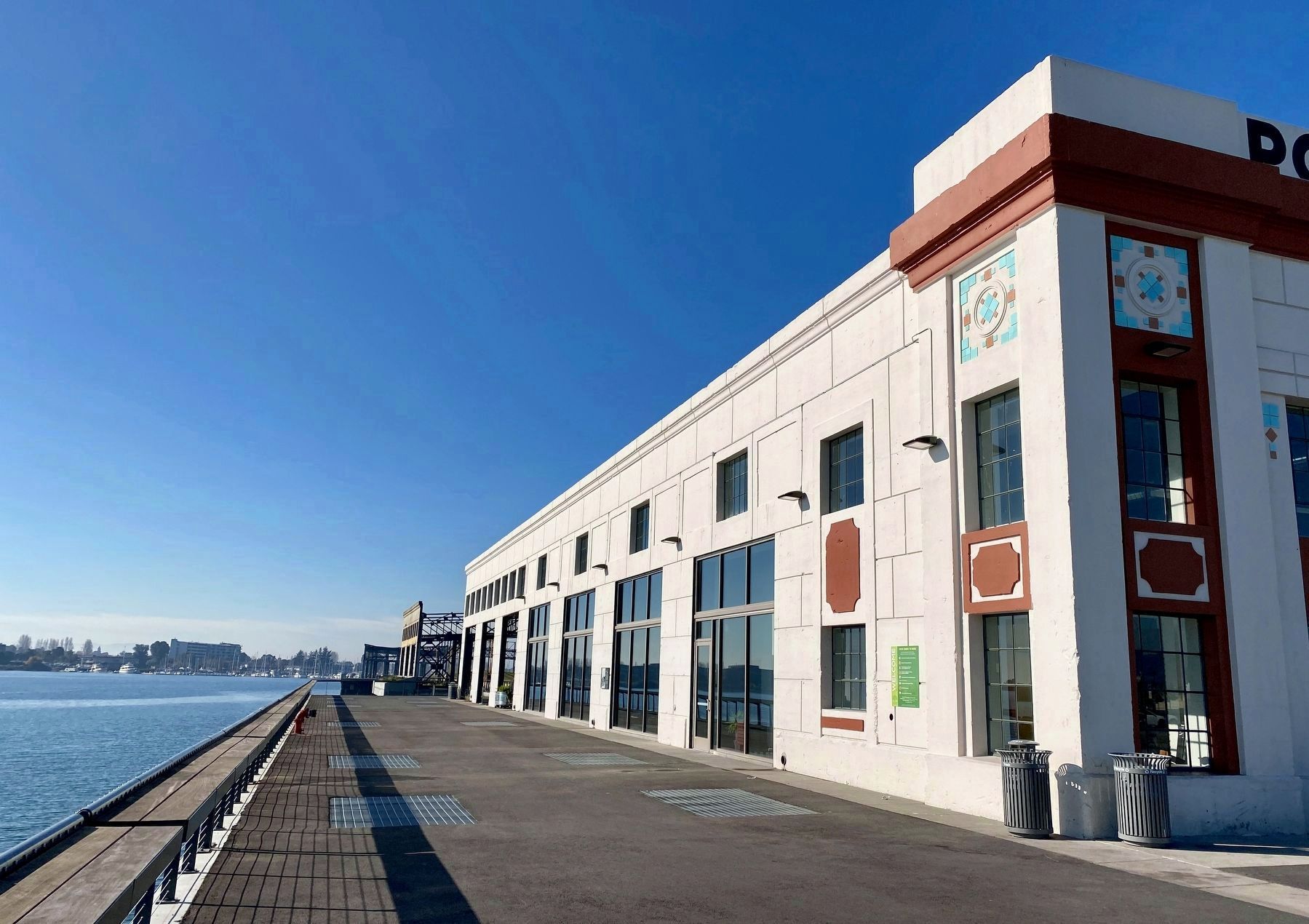
Oakland built the 9th Avenue Terminal to load and unload break-bulk cargo – goods packed in individual crates, barrels, and bags, rather than in standardized containers. It's a method of shipping that requires a lot of manpower, and for decades after the big shipping boom of the 1920s, it was standard operating procedure. That is, until 1956, when a businessman named Malcolm McLean shipped 58 35-foot metal containers from Newark to Houston. Just two years later, in the Pacific, Matson Navigation Company followed suit, sending a shipment of containers from Alameda to Honolulu.
As containerized shipping took off, the gains in efficiency
were enormous. Ships that used to spend three weeks at port could now spend just 18 hours, and containers could go straight from a ship to a truck or railroad car. For the 9th Avenue Terminal, the beginning of containerization meant a slow decline in relevance.
Erected 2020.
Topics. This historical marker is listed in these topic lists: Industry & Commerce • Waterways & Vessels.
Location. 37° 47.209′ N, 122° 15.349′ W. Marker is in Oakland, California, in Alameda County. It is in Downtown Oakland. Marker can be reached from the intersection of
Other nearby markers. At least 8 other markers are within walking distance of this marker. 1930 Where the World Comes to Oakland (about 300 feet away, measured in a direct line); The History of the Site of the Shade Tree (approx. 0.3 miles away); Water & Rails / Brooklyn Basin (approx. half a mile away); History of the Alameda Belt Line (approx. ¾ mile away); Jean Sweeney - Alameda's "Little Engine That Could" (approx. ¾ mile away); Cryer & Sons (approx. 0.9 miles away); Safeway Stores Corporate Headquarters (approx. 0.9 miles away); Oakland’s Waterfront Warehouse District (approx. 0.9 miles away). Touch for a list and map of all markers in Oakland.
Also see . . . 9th Avenue Terminal. Oakland Wiki website entry (Submitted on December 22, 2020.)
Credits. This page was last revised on February 7, 2023. It was originally submitted on December 22, 2020, by Andrew Ruppenstein of Lamorinda, California. This page has been viewed 366 times since then and 55 times this year. Photos: 1, 2. submitted on December 22, 2020, by Andrew Ruppenstein of Lamorinda, California.

