Ticonderoga in Essex County, New York — The American Northeast (Mid-Atlantic)
Hon. Clayton Harris DeLano
Photographed by Bill Coughlin, July 10, 2008
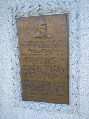
1. Hon. Clayton Harris DeLano Marker
Hon. Clayton Harris DeLano, LL.B.
Christian Gentleman
Leading Industrialist
Honored Citizen.
Born, Ticonderoga, 1836 – Died, 1920
Member of Assembly 1869-71.
Active in all movements for
advancement of education and
civic betterment.
Organized Ticonderoga Pulp Co. 1877. Built first pulp mill of the kind in the town 1878. Reorganized as Ticonderoga Pulp & Paper Co. 1882. Served as President 17 years. Erected paper mill at lower falls 1884, and a larger paper mill on the island 1891.
These mills crowned his ambition to provide steady employment for hundreds of men, thus promoting substantial growth and prosperity in the community he loved so well and to which he devoted the best years of his life.
Ticonderoga reveres his memory.
------- • -------
Erected 1939 by Daughters, surviving business associates and friends of Mr. DeLano.
Topics. This historical marker is listed in this topic list: Industry & Commerce. A significant historical year for this entry is 1836.
Location. 43° 50.915′ N, 73° 25.353′ W. Marker is in Ticonderoga, New York, in Essex County. It is on Montcalm Street, on the right when traveling
this page online

Regionally, this marker is in Upstate New York, in the Adirondacks & North Country, and in the Champlain Valley. It is also in the American Northeast and in the Mid-Atlantic. Globally, it is in North America, the Great North Woods, the Western Hemisphere, the Western World, and the Anglosphere. Historically, it finds itself in what was once the Viceroyalty of New France, New Netherland, and one of the original Thirteen Colonies.
Other nearby markers. At least 8 other markers are within walking distance of this marker: Grand Carry Landing (about 300 feet away, measured in a direct line); Lakes to Locks Passage (about 300 feet away); a different marker also named Lakes to Locks Passage (about 300 feet away); Tower Avenue Grindstones (about 400 feet away); Rivière de La Chute (about 500 feet away); Crossroads of a Community (about 600 feet away); Anatomy of the River (about 800 feet away); Sharing the Flow (approx. 0.2 miles away). Touch for a list and map of all markers in Ticonderoga.
Photographed by Bill Coughlin, July 10, 2008
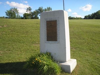
2. Marker on Montcalm Street
Photographed by Bill Coughlin, July 10, 2008
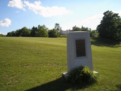
3. Ticonderoga Marker
Credits. This page was last revised on November 27, 2019. It was originally submitted on February 21, 2009, by Bill Coughlin of Woodland Park, New Jersey. This page has been viewed 1,580 times since then and 30 times this year. Photos: 1, 2, 3. submitted on February 21, 2009, by Bill Coughlin of Woodland Park, New Jersey.
