Far West Side in San Antonio in Bexar County, Texas — The American South (West South Central)
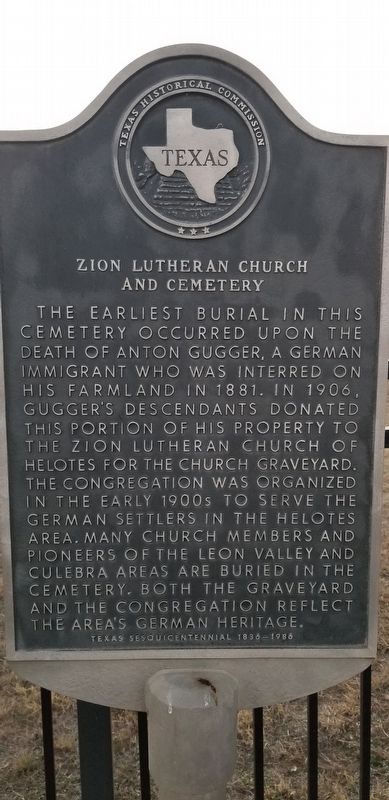
Zion Lutheran Church and Cemetery
The earliest burial in this cemetery occurred upon the death of Anton Gugger, a German immigrant who was interred on his farmland in 1881. In 1906, Gugger's descendants donated this portion of his property to the Zion Lutheran Church of Helotes for the church graveyard. The congregation was organized in the early 1900s to serve the German settlers in the Helotes area. Many church members and pioneers of the Leon Valley and Culebra areas are buried in the cemetery. Both the graveyard and the congregation reflect the area's German Heritage.
Texas Sesquicentennial 1836-1986
Erected 1986 by Texas Historical Commission. (Marker Number 5960.)
Topics. This historical marker is listed in these topic lists: Cemeteries & Burial Sites • Churches & Religion. A significant historical year for this entry is 1881.
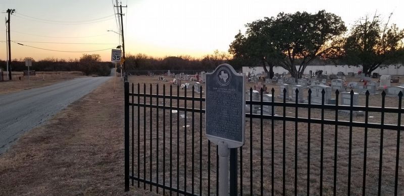
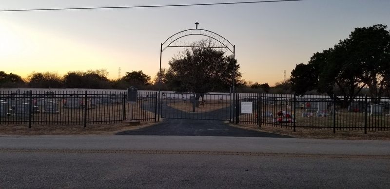
Location. 29° 32.066′ N, 98° 41.134′ W. Marker is in San Antonio, Texas, in Bexar County. It is in the Far West Side. Marker is on Leslie Road, 0.2 miles south of Braun Road, on the right when traveling south. Touch for map. Marker is at or near this postal address: 9963 Leslie Road, San Antonio TX 78254, United States of America. Touch for directions.
Other nearby markers. At least 8 other markers are within 5 miles of this marker, measured as the crow flies. Zion Lutheran Church (about 500 feet away, measured in a direct line); Gugger Homestead (approx. 3 miles away); Helotes (approx. 3 miles away); John T. Floore Country Store (approx. 3 miles away); Marnoch Homestead (approx. 3˝ miles away); Leon Valley Meeting Place (approx. 4.8 miles away); Huebner-Onion Homestead and Stagecoach Stop (approx. 5 miles away); Evers Family Cemetery (approx. 5 miles away).
Credits. This page was last revised on February 2, 2023. It was originally submitted on December 22, 2020, by James Hulse of Medina, Texas. This page has been viewed 291 times since then and 73 times this year. Last updated on February 5, 2021, by James Hulse of Medina, Texas. Photos: 1, 2, 3. submitted on December 22, 2020, by James Hulse of Medina, Texas. • J. Makali Bruton was the editor who published this page.


