Daniel Boone, Surveyor / Bush Settlement
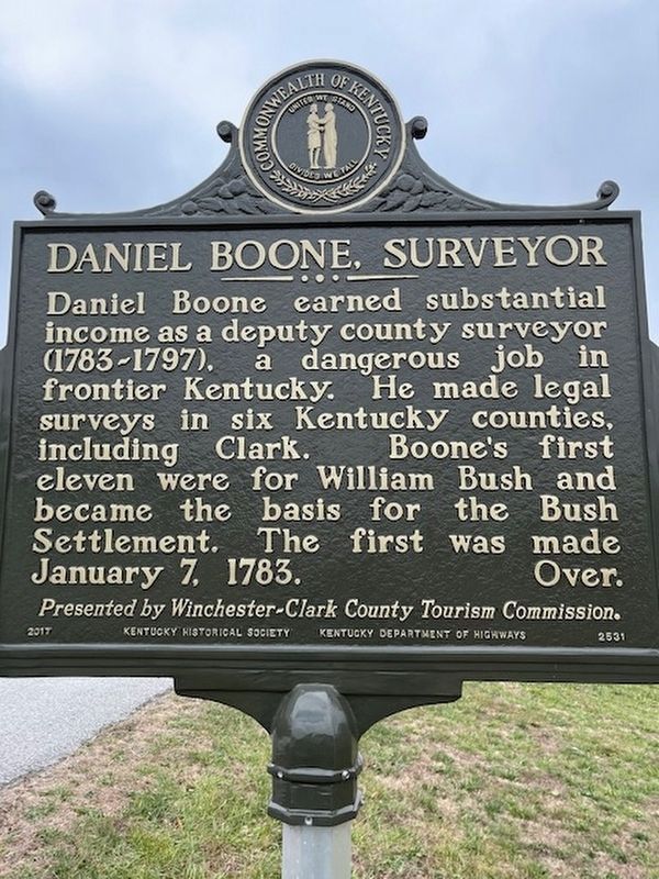
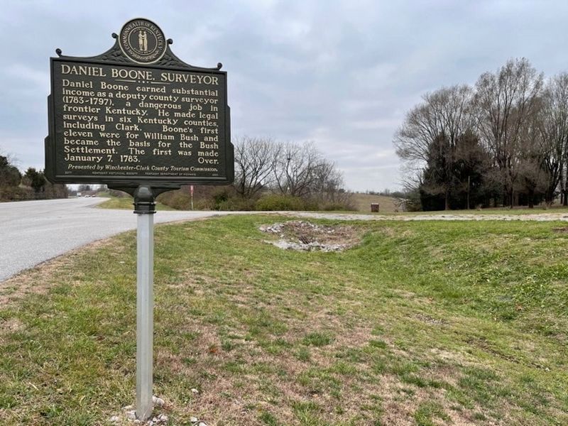
Daniel Boone, Surveyor. Daniel Boone earned substantial income as a deputy county surveyor (1783-1797), a dangerous job in frontier Kentucky. He made legal surveys in six Kentucky counties, including Clark. Boone’s first eleven were for William Bush and became the basis for the Bush Settlement. The first was made January 7, 1783.
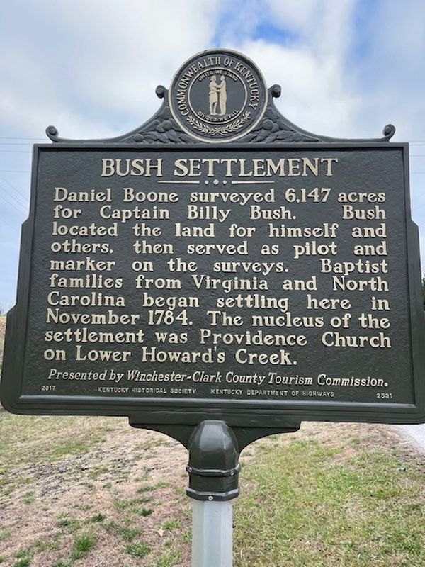
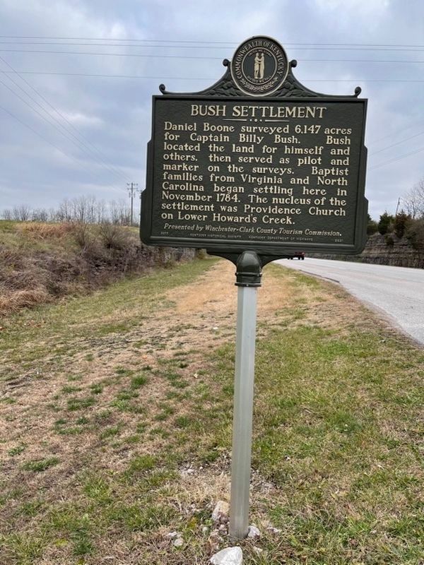
Bush Settlement. Daniel Boone surveyed 6,147 acres for Captain Billy Bush. Bush located the land for himself and others, then served as pilot and marker on the surveys. Baptist families from Virginia and North Carolina began settling here in November 1784. The nucleus of the settlement was Providence Church on Lower Howard’s Creek.
Erected 2017 by Kentucky Historical Society and Kentucky Department of Highways, presented by Winchester-Clark County Tourism Commission. (Marker Number 2531.)
Topics and series. This historical marker is listed in these topic lists: Churches & Religion • Exploration • Settlements & Settlers. In addition, it is included in the Kentucky Historical Society series list. A significant historical date for this entry is January 7, 1783.
Location. 37° 55.776′ N, 84° 14.719′ W. Marker is near Winchester, Kentucky, in Clark County. Marker is at the intersection of Boonesborough
Other nearby markers. At least 8 other markers are within 3 miles of this marker, measured as the crow flies. Old Providence Church (approx. 0.7 miles away); Salt Spring Trace (approx. 1.7 miles away); Colonel John Holder / Howard's Creek Industrial Center (approx. 1.7 miles away); Boone-Callaway Girls Kidnapping (approx. 2.1 miles away); Site of Fort Boonesborough 1775-1783 (approx. 2.3 miles away); "Sycamore Hollow" (approx. 2.3 miles away); Daniel Boone's Trail (approx. 2.3 miles away); Fort Boonsborough Site (approx. 2.3 miles away). Touch for a list and map of all markers in Winchester.
Additional keywords. Surveyor, Daniel Boone
Credits. This page was last revised on December 23, 2020. It was originally submitted on December 23, 2020, by Frank Profitt of Georgetown, Kentucky. This page has been viewed 381 times since then and 39 times this year. Photos: 1, 2, 3, 4. submitted on December 23, 2020, by Frank Profitt of Georgetown, Kentucky. • Devry Becker Jones was the editor who published this page.


