Petrified Forest National Park in Apache County, Arizona — The American Mountains (Southwest)
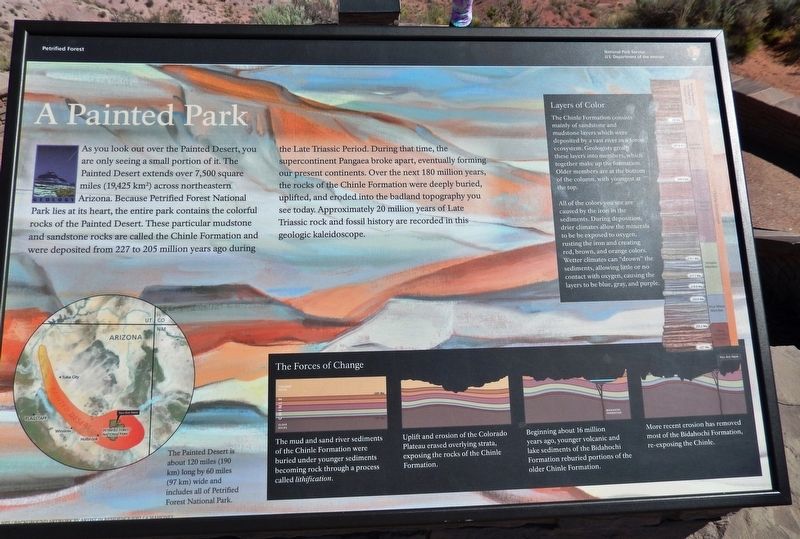
A Painted Park
Petrified Forest National Park
Erected by National Park Service, U.S. Department of the Interior.
Topics. This historical marker is listed in this topic list: Natural Features.
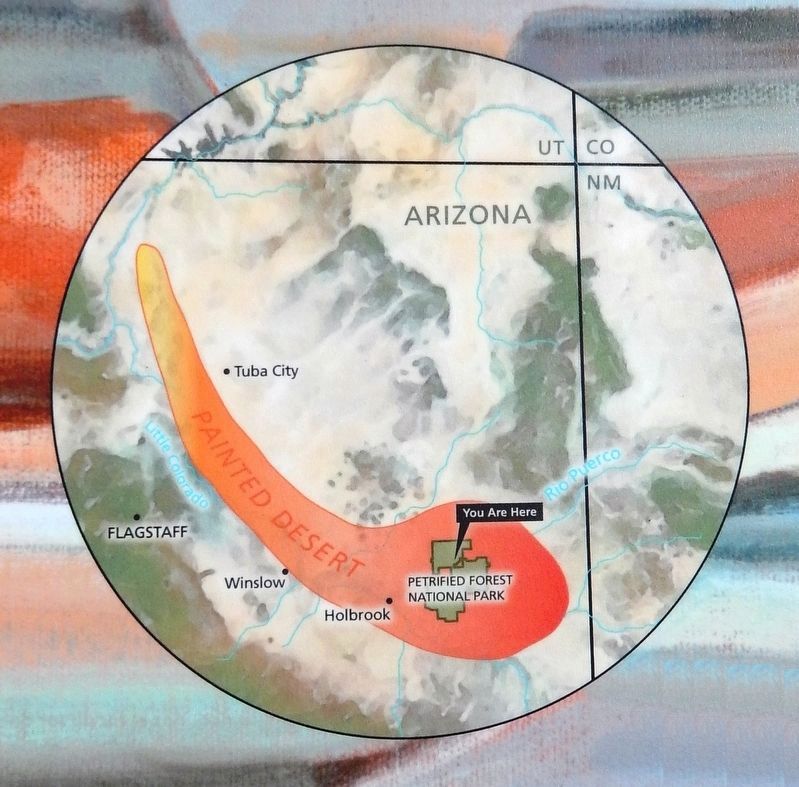
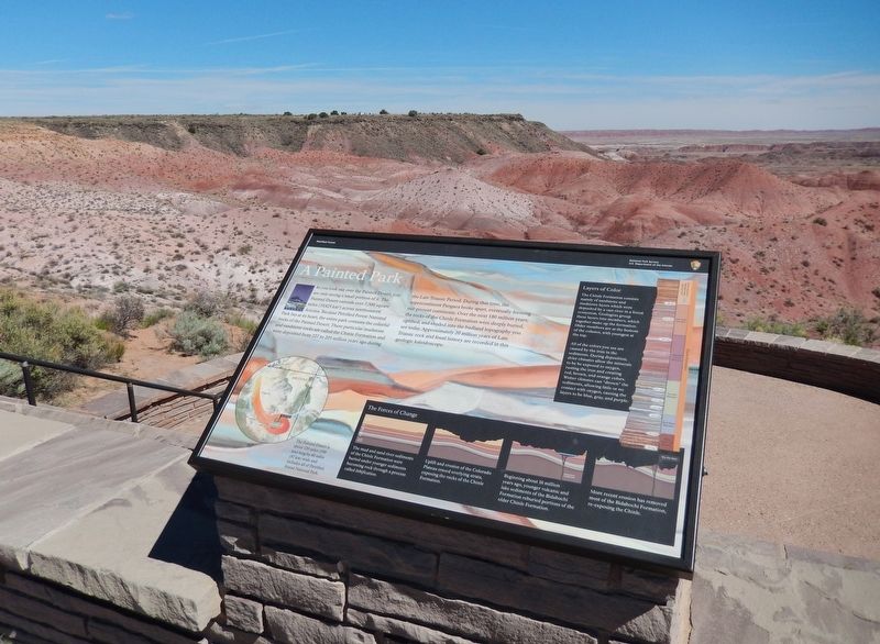
Location. 35° 4.335′ N, 109° 46.815′ W. Marker is in Petrified Forest National Park, Arizona, in Apache County. Marker is on Petrified Forest Road, one mile north of U.S. Route 66 (Interstate 40), on the right when traveling north. Marker is located at the Tiponi Point overlook in Petrified Forest National Park. Touch for map. Marker is in this post office area: Petrified Forest Natl Pk AZ 86028, United States of America. Touch for directions.
Other nearby markers. At least 8 other markers are within 2 miles of this marker, measured as the crow flies. Painted Desert Community Complex Historic District (approx. 0.3 miles away); Over the Edge (approx. 0.6 miles away); A Gap in the Geologic Record (approx. 0.8 miles away); Painted Desert Inn (approx. 0.9 miles away); Badlands (approx. one mile away); Early Explorers (approx. one mile away); Desert Vistas (approx. 1.4 miles away); The Painted Desert (approx. 1.4 miles away).
More about this marker. Replaced older "Painted Desert / Finding Fossils" markers at same location.
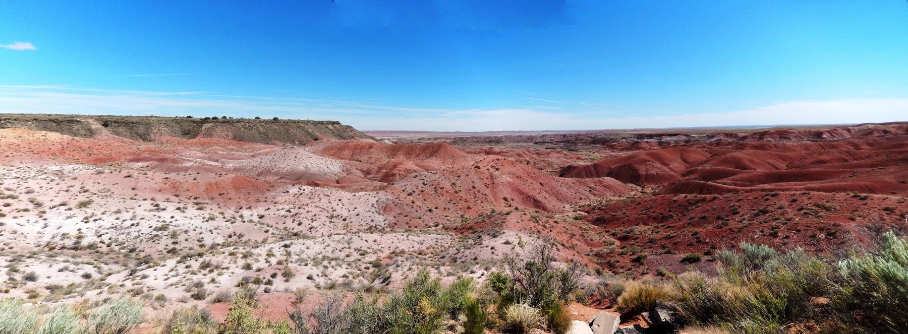
Also see . . . Petrified Forest National Park (Wikipedia). The colorful Chinle, which appears on the surface in many parts of the southwestern United States and from which the Painted Desert gets its name, is up to 800 feet thick in the park. It consists of a variety of sedimentary rocks including beds of soft, fine-grained mudstone, siltstone, and claystone — much of which is bentonite — as well as harder sandstone and conglomerate, and limestone. Exposed to wind and water, the Chinle usually erodes differentially into badlands
made up of cliffs, gullies, mesas, buttes, and rounded hills. (Submitted on December 25, 2020, by Cosmos Mariner of Cape Canaveral, Florida.)
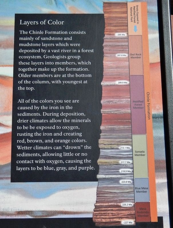
3. Marker detail: Layers of Color
The Chinle Formation consists mainly of sandstone and mudstone layers which were deposited by a vast river in a forest ecosystem. Geologists group these layers into members, which together make up the formation. Older members are at the bottom of the column, with youngest at the top.
All of the colors you see are caused by the iron in the sediments. During deposition, drier climates allow the minerals to be exposed to oxygen, rusting the iron and creating red, brown, and orange colors. Wetter climates can "drown" the sediments, allowing little or no contact with oxygen, causing the layers to be blue, gray, and purple.
All of the colors you see are caused by the iron in the sediments. During deposition, drier climates allow the minerals to be exposed to oxygen, rusting the iron and creating red, brown, and orange colors. Wetter climates can "drown" the sediments, allowing little or no contact with oxygen, causing the layers to be blue, gray, and purple.

4. Marker detail: The Forces of Change
The mud and sand river sediments of the Chinle Formation were buried under younger sediments becoming rock through a process called lithification.
Uplift and erosion of the Colorado Plateau erased overlying strata, exposing the rocks of the Chinle Formation.
Beginning about 16 million years ago, younger volcanic and lake sediments of the Bidahochi Formation reburied portions of the older Chinle Formation.
More recent erosion has removed most of the Bidahochi Formation. re-exposing the Chinle.
Credits. This page was last revised on December 25, 2020. It was originally submitted on December 23, 2020, by Cosmos Mariner of Cape Canaveral, Florida. This page has been viewed 288 times since then and 54 times this year. Photos: 1, 2, 3, 4, 5, 6. submitted on December 25, 2020, by Cosmos Mariner of Cape Canaveral, Florida.
