Near Ramah in Cibola County, New Mexico — The American Mountains (Southwest)
Monumental Changes
El Morro National Monument
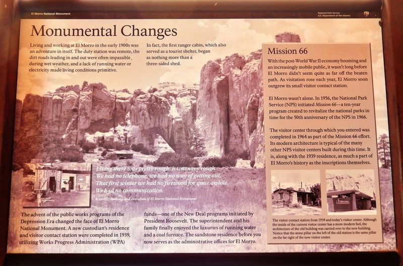
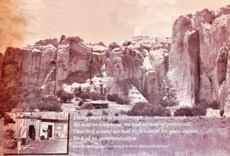
The advent of the public works programs of the Depression Era changed the face of El Morro National Monument. A new custodian's residence and visitor contact station were completed in 1939, utilizing Works Progress Administration (WPA) funds — one of the New Deal programs initiated by President Roosevelt. The superintendent and his family finally enjoyed the luxuries of running water and a coal furnace. The sandstone residence before you now serves as the administrative offices for El Morro.
Mission 66
With the post-World War II economy booming and an increasingly mobile public, it wasn't long before El Morro didn't seem quite as far off the beaten path. As visitation rose each year, El Morro soon outgrew its small visitor contact station.
El Morro wasn't alone. In 1956, the National Park Service (NPS) initiated Mission 66 — a ten-year program created to revitalize the national parks in time for the 50th anniversary of the NPS in 1966.
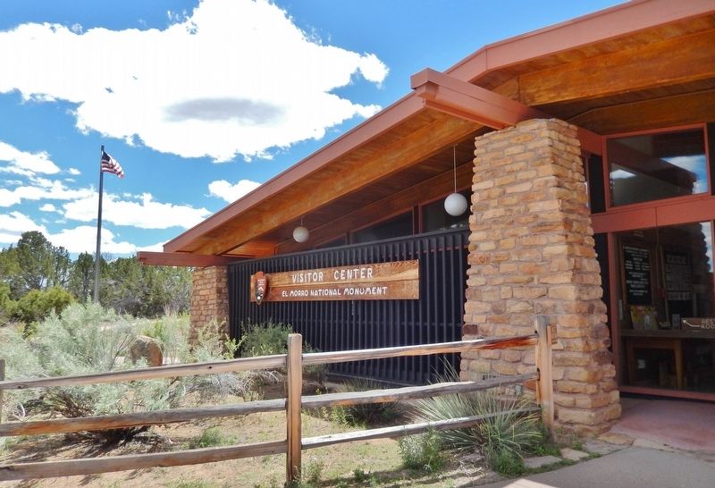
The visitor center through which you entered was completed in 1964 as part of the Mission 66 effort. Its modern architecture is typical of the many other NPS visitor centers built during this time. It is, along with the 1939 residence, as much a part of El Morro's history as the inscriptions themselves.
Erected by National Parks Service, U.S. Department of the Interior.
Topics and series. This historical marker is listed in these topic lists: Charity & Public Work • Parks & Recreational Areas. In addition, it is included in the Works Progress Administration (WPA) projects series list. A significant historical year for this entry is 1939.
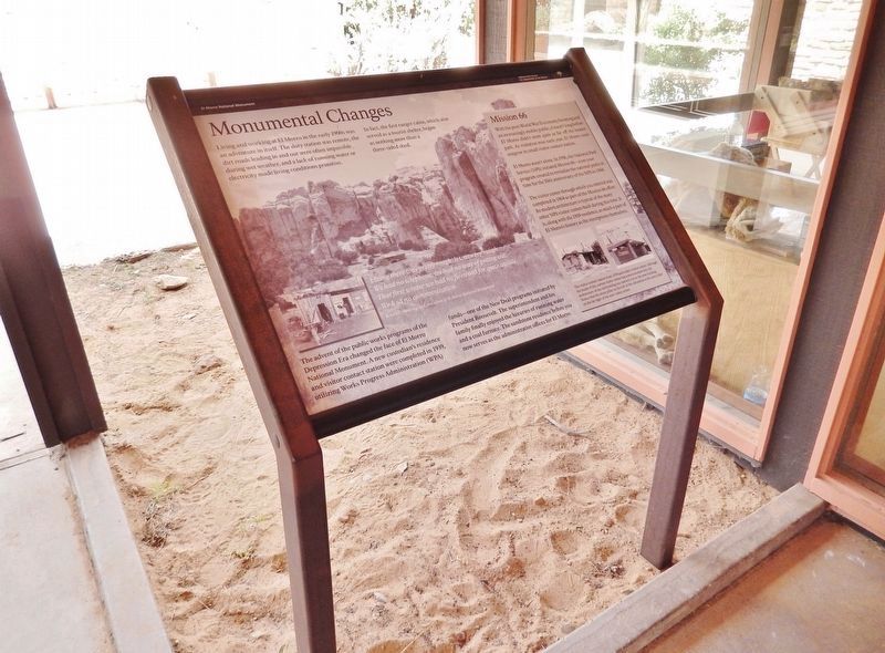
Location. 35° 2.309′ N, 108° 20.928′ W. Marker is near Ramah, New Mexico, in Cibola County. Marker can be reached from El Morro National Monument Road, 0.9 miles Ice Caves Road (State Highway 53). Marker is located just outside the El Morro National Monument Visitor Center entrance. Touch for map. Marker is in this post office area: Ramah NM 87321, United States of America. Touch for directions.
Other nearby markers. At least 8 other markers are within 3 miles of this marker, measured as the crow flies. Oasis (approx. 0.2 miles away); Preserving Our Heritage (approx. 0.2 miles away); Lemonade Sumac (approx. 0.2 miles away); Atsinna (approx. ¼ mile away); Visitors Through the Ages
(approx. 0.4 miles away); Welcome to El Morro (approx. 0.6 miles away); El Morro National Monument Inscription Rock (approx. 0.7 miles away); Matilda Coxe Stevenson (1849-1915) (approx. 2.1 miles away). Touch for a list and map of all markers in Ramah.
Regarding Monumental Changes. National Register of Historic Places #66000043.
Related markers. Click here for a list of markers that are related to this marker. El Morro National Monument
Also see . . . El Morro National Monument (Wikipedia). El Morro was designated a national monument by President Theodore Roosevelt on December 8, 1906, and was added to the National Register of Historic Places in 1966. Today the site is managed by the National Park Service. The many inscription panels, water pool, pueblo ruins, and the top of the promontory are all accessible via park trails. (Submitted on December 24, 2020, by Cosmos Mariner of Cape Canaveral, Florida.)
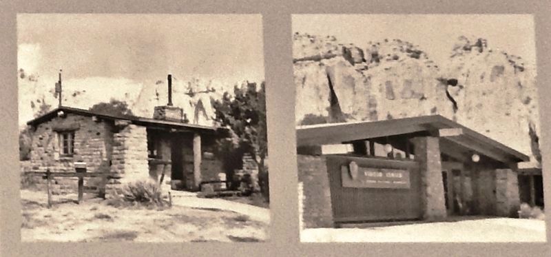
3. Marker detail: Visitor Center
The visitor contact station from 1939 and today's visitor center. Although the inside of the current visitor center has a more modern feel, the architecture of the old building was carried over to the new building. Notice that the stone pillar on the left of the old station is the same pillar on the far right of the new visitor center.
Credits. This page was last revised on December 24, 2020. It was originally submitted on December 23, 2020, by Cosmos Mariner of Cape Canaveral, Florida. This page has been viewed 117 times since then and 12 times this year. Photos: 1. submitted on December 23, 2020, by Cosmos Mariner of Cape Canaveral, Florida. 2, 3, 4, 5. submitted on December 24, 2020, by Cosmos Mariner of Cape Canaveral, Florida.
