Near Ramah in Cibola County, New Mexico — The American Mountains (Southwest)
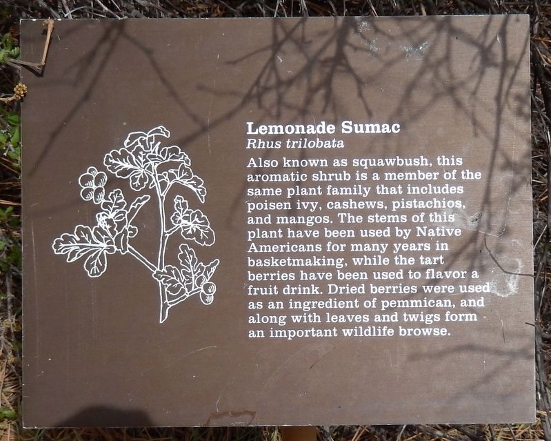
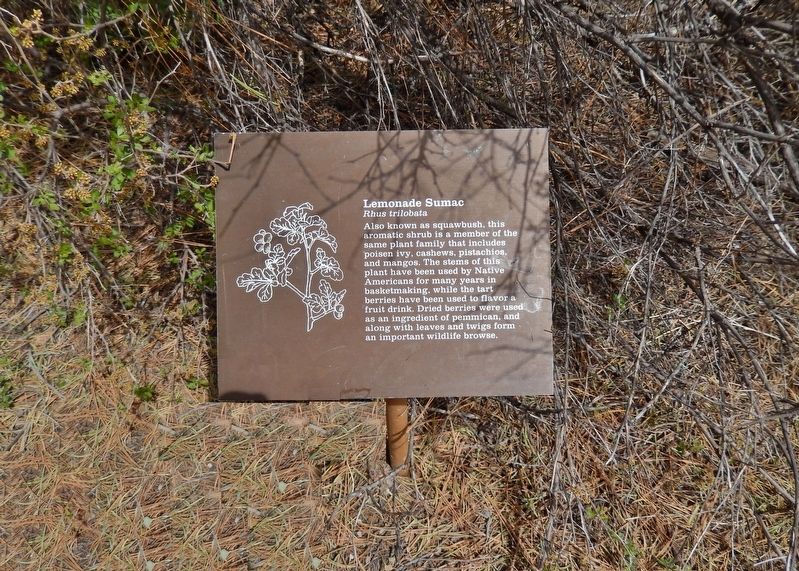
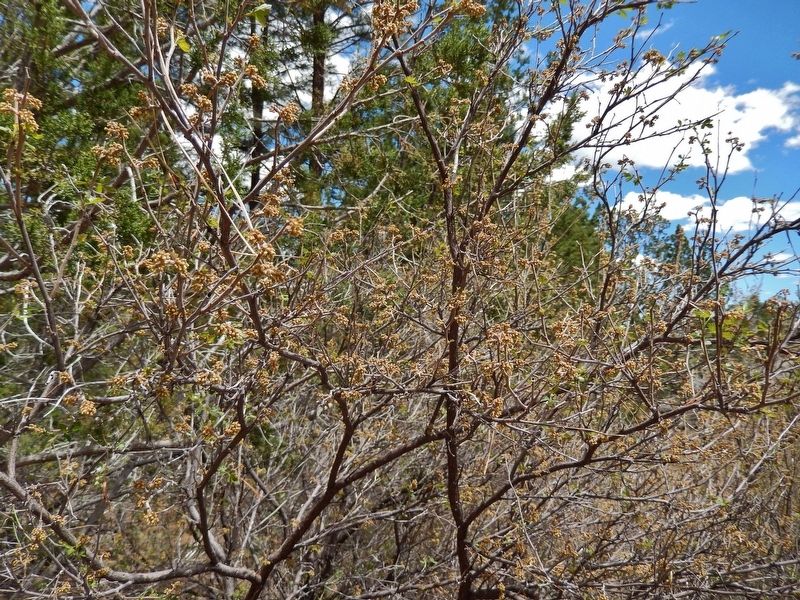
Lemonade Sumac
Rhus trilobata
Topics. This historical marker is listed in this topic list: Native Americans.
Location. 35° 2.431′ N, 108° 21.076′ W. Marker is near Ramah, New Mexico, in Cibola County. Marker can be reached from El Morro National Monument Road, 0.9 miles Ice Caves Road (State Highway 53). Marker is located along the Inscription interpretive trail, about ¼ mile from the El Morro National Monument Visitor Center. Touch for map. Marker is in this post office area: Ramah NM 87321, United States of America. Touch for directions.
Other nearby markers. At least 8 other markers are within 2 miles of this marker, measured as the crow flies. Oasis (within shouting distance of this marker); Preserving Our Heritage (about 600 feet away, measured in a direct line); Monumental Changes (approx. 0.2 miles away); Atsinna (approx. 0.2 miles away); Visitors Through the Ages (approx. half a mile away); Welcome to El Morro (approx. ¾ mile away); El Morro National Monument Inscription Rock (approx. ¾ mile away); Matilda Coxe Stevenson (1849-1915) (approx. 1.9 miles away). Touch for a list and map of all markers in Ramah.
Also see . . . Rhus trilobata (Wikipedia). Grows in many types of plant communities, such as the grasslands east of the Rocky Mountains, mountainous shrubland, pine, juniper, and fir forests, wetlands, oak woodlands, and chaparral. The plant is destroyed above ground but rarely killed by wildfire, and will readily sprout back up in burned areas. The Zuni people, Navajo, Mono tribe of California and tribes in the area use the stems with the bark removed to make baskets. (Submitted on December 24, 2020, by Cosmos Mariner of Cape Canaveral, Florida.)
Credits. This page was last revised on December 24, 2020. It was originally submitted on December 24, 2020, by Cosmos Mariner of Cape Canaveral, Florida. This page has been viewed 158 times since then and 9 times this year. Photos: 1, 2, 3. submitted on December 24, 2020, by Cosmos Mariner of Cape Canaveral, Florida.


