Spartanburg in Spartanburg County, South Carolina — The American South (South Atlantic)
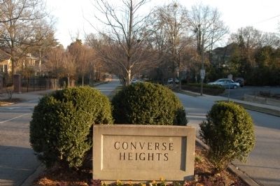
Converse Heights
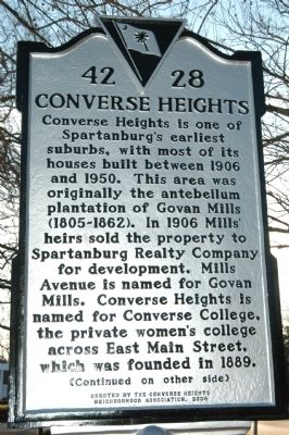
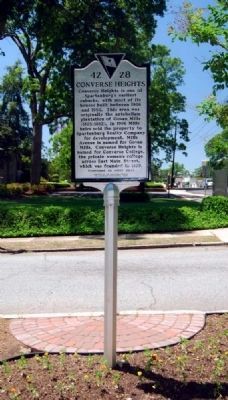
[Front]:
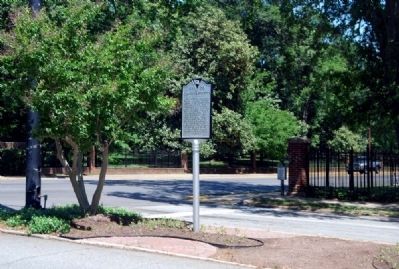
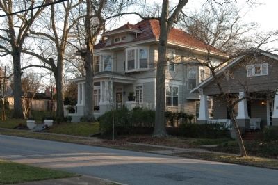
Converse Heights is one of Spartanburg's earliest suburbs, with most of its houses built between 1906 and 1950. This area was originally the antebellum plantation of Govan Mills (1805-1862). In 1906 Mills' heirs sold the property to Spartanburg Realty Company for development. Mills Avenue is named for Govan Mills. Converse Heights is named for Converse College, a private women's college across East Main Street, which was founded in 1889.
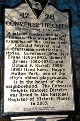
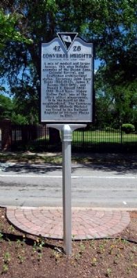
[Reverse]:
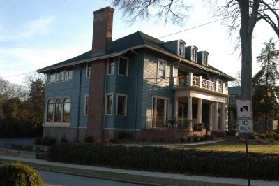
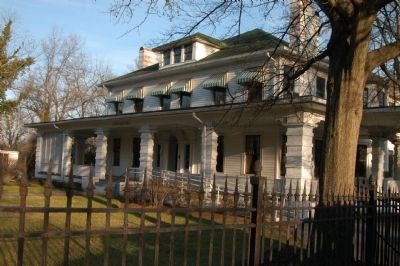
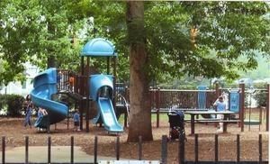
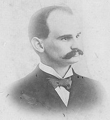
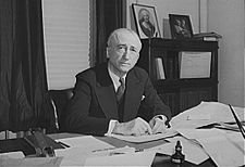
A mix of modest and larger houses, this area includes examples of the Queen Anne, Colonial Revival, and Craftsman architectural styles. Governors John Gray Evans (1863-1942), James F. Byrnes (1882-1972), and Donald F. Russell (1906-1998) lived here. Happy Hollow, one of the city's oldest playgrounds, is in the heart of the neighborhood. The Converse Heights Historic District was listed in the National Register of Historic Places in 2007.
Erected 2008 by Converse Heights Neighborhood Association. (Marker Number 42-28.)
Topics. This historical marker is listed in this topic list: Notable Places. A significant historical year for this entry is 1906.
Location. 34° 57.246′ N, 81° 54.996′ W. Marker is in Spartanburg, South Carolina, in Spartanburg County. Marker is at the intersection of Mills Avenue and East Main Street (U.S. 29), in the median on Mills Avenue. Touch for map. Marker is in this post office area: Spartanburg SC 29302, United States of America. Touch for directions.
Other nearby markers. At least 10 other markers are within walking distance of this marker. Dexter Edgar Converse (a few steps from this marker); Converse College (within shouting distance of this marker); Marian Anderson (about 400 feet away, measured in a direct line); Emily Elizabeth Dickinson (about 600 feet away); First Presbyterian Church of Spartanburg, S.C. (approx. 0.4 miles away); Church of the Advent (approx. half a mile away); Daniel Morgan Avenue (approx. 0.6 miles away); Barnet Park (approx. 0.7 miles away); Don Reno / The Blue Ridge Quartet (approx. ¾ mile away); Walter Hyatt / DesChamps Hood (approx. 0.8 miles away). Touch for a list and map of all markers in Spartanburg.
Related marker. Click here for another marker that is related to this marker. Converse College
Also see . . .
1. National Register of Historic Places. Check out this link for pictures of the beautiful houses in Converse Heights (Submitted on February 21, 2009, by Michael Sean Nix of Spartanburg, South Carolina.)
2. Wikipedia entry for Donald Russell. (Submitted on February 21, 2009, by Michael Sean Nix of Spartanburg, South Carolina.)
3. Wikipedia entry for James F. Byrnes. (Submitted on February 21, 2009, by Michael Sean Nix of Spartanburg, South Carolina.)
4. Wikipedia entry for John Gary Evans. (Submitted on February 21, 2009, by Michael Sean Nix of Spartanburg, South Carolina.)
5. Converse Heights Neighborhood Association. (Submitted on February 21, 2009, by Michael Sean Nix of Spartanburg, South Carolina.)
Credits. This page was last revised on June 16, 2016. It was originally submitted on February 21, 2009, by Michael Sean Nix of Spartanburg, South Carolina. This page has been viewed 2,637 times since then and 87 times this year. It was the Marker of the Week March 8, 2009. Photos: 1, 2. submitted on February 21, 2009, by Michael Sean Nix of Spartanburg, South Carolina. 3, 4, 5. submitted on April 29, 2011, by Brian Scott of Anderson, South Carolina. 6, 7, 8, 9. submitted on February 21, 2009, by Michael Sean Nix of Spartanburg, South Carolina. 10. submitted on February 21, 2009. 11, 12, 13. submitted on February 21, 2009, by Michael Sean Nix of Spartanburg, South Carolina. • Kevin W. was the editor who published this page.
