Near Eufaula in Barbour County, Alabama — The American South (East South Central)
Eufaula-Montgomery Roadway
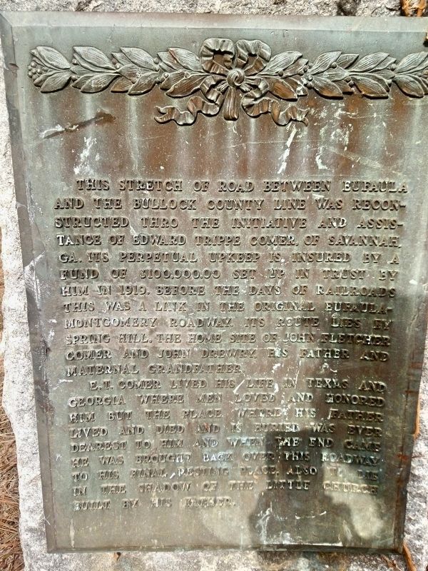
E.T. Comer lived his life in Texas and Georgia where men loved and honored him but the place where his father lived and died and is buried was ever dearest to him and when the end came he was brought back over this roadway to his final resting place. Also to lie in the shadow of the little church built by his father.
Topics. This historical marker is listed in these topic lists: Landmarks • Roads & Vehicles • Settlements & Settlers. A significant historical year for this entry is 1919.
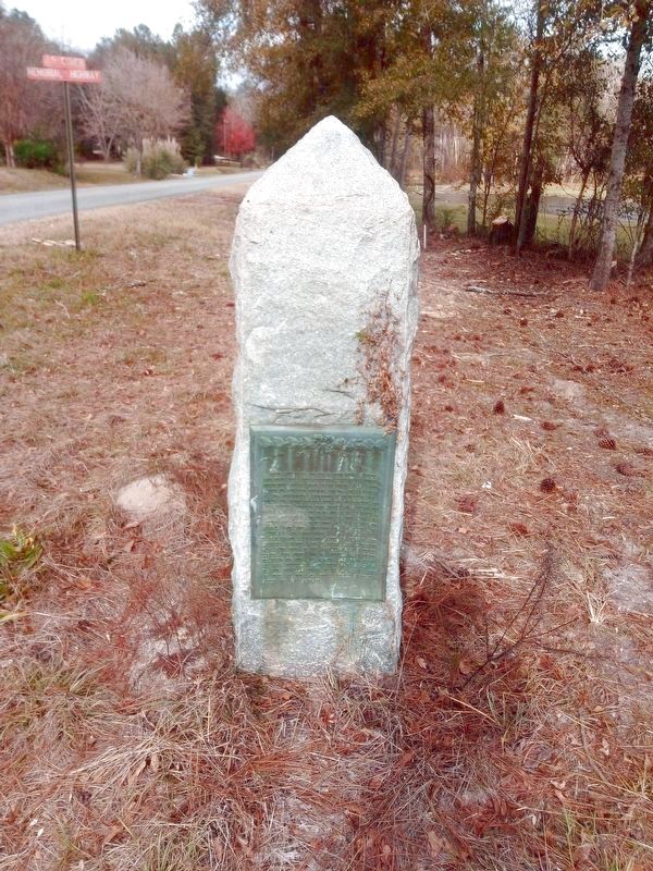
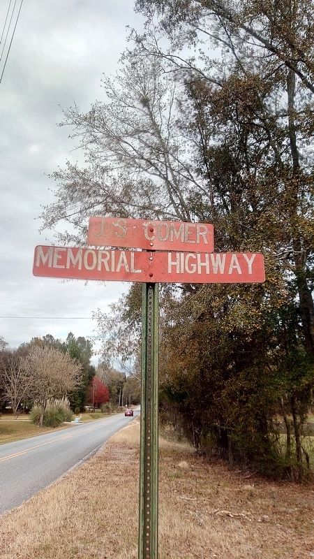
Location. 31° 57.99′ N, 85° 12.85′ W. Marker is near Eufaula, Alabama, in Barbour County. Marker is on Springhill Road north of U.S. 82, on the right when traveling north. Springhill Rd has also been designated the JS Comer Memorial Highway. Touch for map. Marker is in this post office area: Eufaula AL 36027, United States of America. Touch for directions.
Other nearby markers. At least 8 other markers are within 7 miles of this marker, measured as the crow flies . Old Fairview Cemetery (approx. 6.1 miles away); Old Negro Cemetery / Fairview Cemetery (approx. 6.1 miles away); William Dorsey Jelks Governor of Alabama (approx. 6.1 miles away); Fendall Hall / Young and Dent (approx. 6.1 miles away); The Tree That Owns Itself (approx. 6.2 miles away); General Grierson’s March (approx. 6.2 miles away); Batesville Church - 1837 (approx. 6.3 miles away); Vietnam Veteran Park (approx. 6.3 miles away). Touch for a list and map of all markers in Eufaula.
More about this marker. Springhill Rd has also been designated the JS Comer Memorial Highway.
Credits. This page was last revised on December 30, 2020. It was originally submitted on December 24, 2020, by James L.Whitman of Eufaula, Alabama. This page has been viewed 339 times since then and 46 times this year. Photos: 1, 2. submitted on December 29, 2020, by James L.Whitman of Eufaula, Alabama. 3, 4. submitted on December 30, 2020, by James L.Whitman of Eufaula, Alabama. • Mark Hilton was the editor who published this page.


