Delphi in Carroll County, Indiana — The American Midwest (Great Lakes)
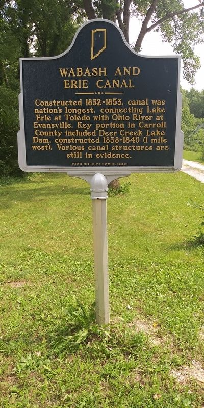
Wabash And Erie Canal
Erected 1992 by Indiana Historical Bureau.
Topics and series. This historical marker is listed in this topic list: Waterways & Vessels. In addition, it is included in the Indiana Historical Bureau Markers, and the Wabash & Erie Canal series lists.
Location. 40° 35.017′ N, 86° 40.983′ W. Marker is in Delphi, Indiana, in Carroll County. Marker is on Bicycle Bridge Road just west of West Monroe Street (Indiana Route 18), on the left when traveling west. The marker is on the Grounds of the Wabash & Erie Canal Conference & Interpretive Center. Touch for map. Marker is at or near this postal address: 731 W Franklin St, Delphi IN 46923, United States of America. Touch for directions.
Other nearby markers. At least 8 other markers are within walking distance of this marker. Commerce & Culture (here, next to this marker); Welcome To Canal Park (here, next to this marker); Trails to History (here, next to this marker); Wabash and Erie Canal (within shouting distance of this marker); Paper Mill Complex (about 300 feet away, measured in a direct line); The Depot (approx. 0.3 miles away); The Post Office At Sleeth (approx. 0.4 miles away); Sleeth Post Office was at McCoy's Station on the Monon R.R. (approx. 0.4 miles away). Touch for a list and map of all markers in Delphi.
Credits. This page was last revised on December 26, 2020. It was originally submitted on December 25, 2020, by Craig Doda of Napoleon, Ohio. This page has been viewed 122 times since then and 10 times this year. Photos: 1, 2. submitted on December 25, 2020, by Craig Doda of Napoleon, Ohio. • Devry Becker Jones was the editor who published this page.

