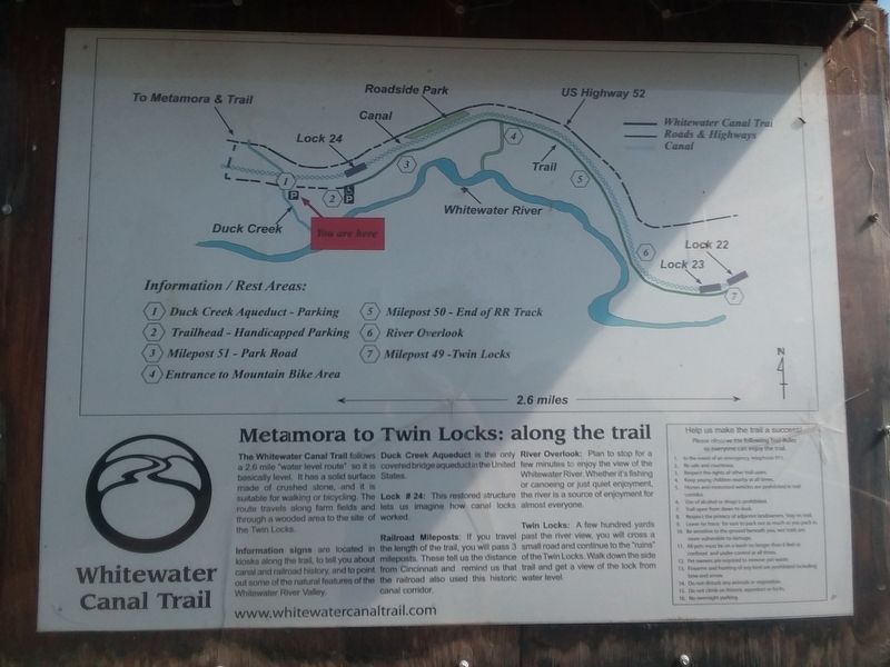
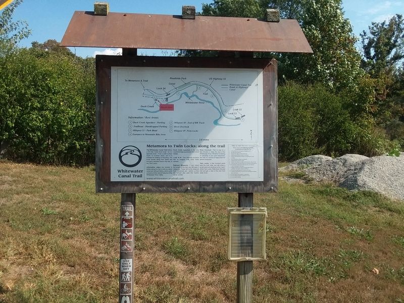
Metamora to Twin Locks: along the trail
Whitewater Canal Trail
The Whitewater Canal Trail follows a 2.6 mile "water level route" so it is basically level. It has a solid surface made of crushed stone, and it is suitable for walking or bicycling. The route travels along farm fields and through a wooded area to the site of the Twin Locks.
Information signs are located in kiosks along the trail, to tell you about canal and railroad history, and to point out some of the natural features of the Whitewater River Valley.
Duck Creek Aqueduct is the only covered bridge aqueduct in the United States.
Lock # 24: This restored structure lets us imagine how canal locks worked.
Railroad Mileposts: If you travel the length of the trail, you will pass 3 mileposts. These tell us the distance from Cincinnati and remind us that the railroad also used this historic canal corridor.
River Overlook: Plan to stop for a few minutes to enjoy the view of the Whitewater River. Whether it's fishing or canoeing or just quiet enjoyment, the river is a source of enjoyment for almost everyone.
Twin Locks: A few hundred yards
past the river view, you will cross a
small road and continue to the "ruins"
of the Twin Locks. Walk down the side
trail and get a view of the lock from
water level.
Topics and series. This
Location. 39° 26.733′ N, 85° 7.567′ W. Marker is in Metamora, Indiana, in Franklin County. Marker is at the intersection of Pennington Road and Whitewater Canal Trail, on the right when traveling east on Pennington Road. On the grounds of Whitewater Canal State Historic Site. Touch for map. Marker is at or near this postal address: 18216 Main St, Metamora IN 47030, United States of America. Touch for directions.
Other nearby markers. At least 8 other markers are within walking distance of this marker. Whitewater Canal State Historic Site (about 600 feet away, measured in a direct line); Locking Thru Lock No. 24 (about 700 feet away); Whitewater Canal (about 800 feet away); Duck Creek Aqueduct (approx. ¼ mile away); a different marker also named Whitewater Canal State Historic Site (approx. 0.3 miles away); Metamora Christian Church (approx. 0.4 miles away); Stable (approx. 0.4 miles away); Martindale Hotel (approx. 0.4 miles away). Touch for a list and map of all markers in Metamora.
Credits. This page was last revised on December 26, 2020. It was originally submitted on December 26, 2020, by Craig Doda of Napoleon, Ohio. This page has been viewed 190 times since then and 12 times this year. Photos: 1, 2. submitted on December 26, 2020, by Craig Doda of Napoleon, Ohio. • Devry Becker Jones was the editor who published this page.

