Columbia Heights in Arlington in Arlington County, Virginia — The American South (Mid-Atlantic)
Arlington Village
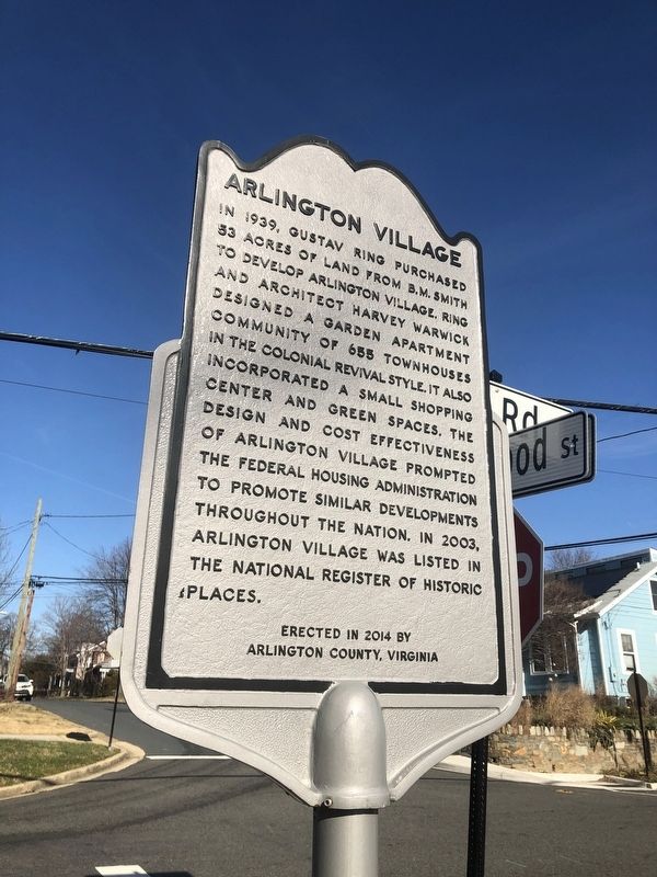
Erected 2014 by Arlington County, Virginia.
Topics. This historical marker is listed in these topic lists: Architecture • Settlements & Settlers. A significant historical year for this entry is 1939.
Location. 38° 51.573′ N, 77° 5.13′ W. Marker is in Arlington, Virginia, in Arlington County. It is in Columbia Heights. It is at the intersection of 13th Road South and South Edgewood Street, on the right when traveling east on 13th Road South. Touch for map. Marker is at or near this postal address: 1318 S Edgewood St, Arlington VA 22204, United States of America. Touch for directions.

Regionally, this marker
this page online
Other nearby markers. At least 8 other markers are within walking distance of this marker: Echo (approx. ¼ mile away); Fort Berry (approx. 0.4 miles away); Hunter's Crossroads (approx. 0.4 miles away); Our Lady Queen of Peace (approx. 0.4 miles away); Fort Richardson (approx. 0.4 miles away); The Fort (approx. 0.4 miles away); Travers Family Graveyard (approx. 0.4 miles away); The Soldiers (approx. 0.4 miles away). Touch for a list and map of all markers in Arlington.
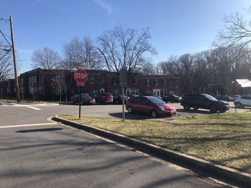
Photographed by Devry Becker Jones (CC0), December 27, 2020
2. Arlington Village Marker
The Colonial Revival architecture can be seen in the background.
Credits. This page was last revised on February 1, 2023. It was originally submitted on December 27, 2020, by Devry Becker Jones of Washington, District of Columbia. This page has been viewed 513 times since then and 43 times this year. Photos: 1, 2. submitted on December 27, 2020, by Devry Becker Jones of Washington, District of Columbia.
