Bloomsburg in Columbia County, Pennsylvania — The American Northeast (Mid-Atlantic)
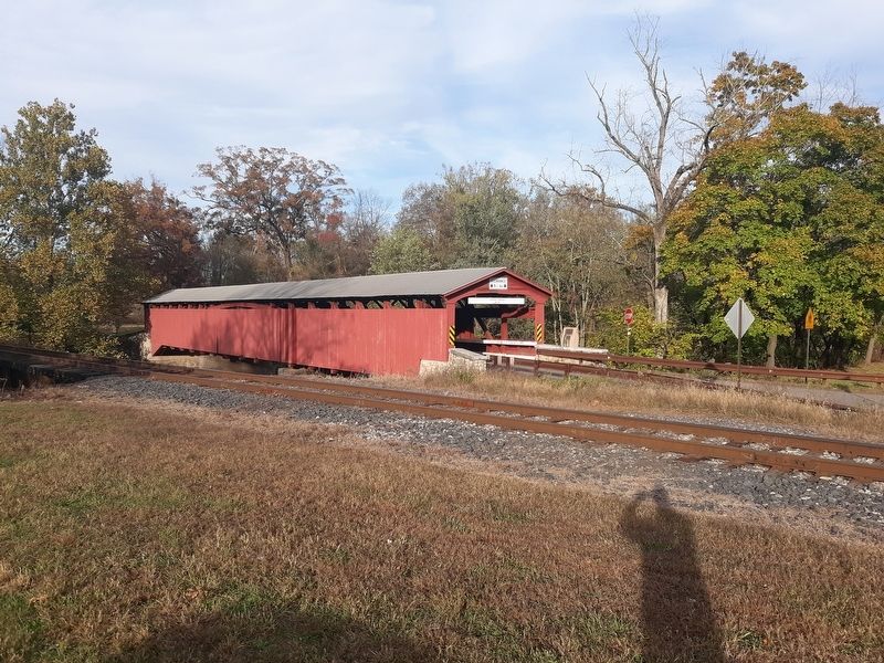
Rupert Covered Bridge
National Register
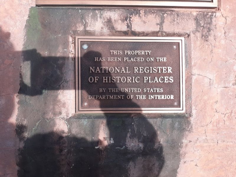
This property
has been placed on the
National Register
of Historic Places
By the United States
Department of the Interior
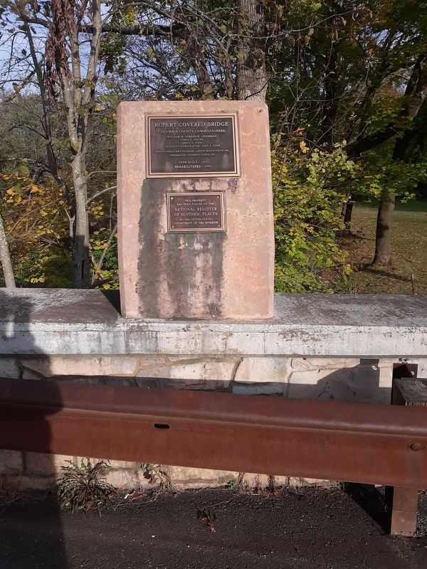
Plaque 2
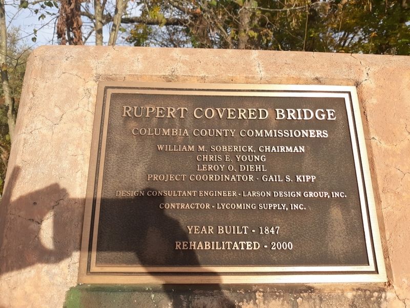
Rupert Covered Bridge
Columbia County Commissioners
William M. Soberick, Chairman
Chris E. Young
Leroy O. Diehl
Project Coordinator - Gail S. Kipp
Design Consultant Engineer - Larson Design Group, Inc.
Contractor - Lycoming Supply, Inc.
Year Built 1847
Rehabilitated - 2000
Topics and series. This historical marker is listed in this topic list: Bridges & Viaducts. In addition, it is included in the Covered Bridges, and the National Register of Historic Places series lists. A significant historical year for this entry is 1847.
Location. 40° 58.864′ N, 76° 28.359′ W. Marker is in Bloomsburg, Pennsylvania, in Columbia County. Marker is on Covered Bridge Road, on the right when traveling north. Touch for map. Marker is in this post office area: Bloomsburg PA 17815, United States of America. Touch for directions.
Other nearby markers. At least 8 other markers are within 2 miles of this marker, measured as the crow flies. A different marker also named Rupert Covered Bridge (within shouting distance of this marker); Native American Inhabitants Memorial (approx. 0.3 miles away); Fort McClure (approx. 0.9 miles away); Wyoming Path (approx. 0.9 miles away); Replica of the Statue of Liberty (approx. 1˝ miles away); 261 West Main Street (approx. 1˝ miles away); 246 West Main Street (approx. 1˝ miles away); 259 West Main Street (approx. 1˝ miles away). Touch for a list and map of all markers in Bloomsburg.
Regarding Rupert Covered Bridge. Statement of Significance (from 1979):
Columbia County's bridges are designed with either the King Post for shorter spans, Warren Truss, Queen Post for longer spans, Theodore Burr or the Howe Truss. Because covered bridges have not been built within the last half century in Columbia County, the design and
engineering of these structures is unique.
Related marker. Click here for another marker that is related to this marker.
Also see . . .
1. Rupert Covered Bridge. (Submitted on December 29, 2020, by Craig Doda of Napoleon, Ohio.)
2. Rupert Covered Bridge in PHMC Covered Bridges of Columbia & Montour Counties Thematic Resource.
Credits. This page was last revised on December 8, 2023. It was originally submitted on December 29, 2020, by Craig Doda of Napoleon, Ohio. This page has been viewed 89 times since then and 11 times this year. Photos: 1, 2, 3, 4. submitted on December 29, 2020, by Craig Doda of Napoleon, Ohio. • Bill Pfingsten was the editor who published this page.


