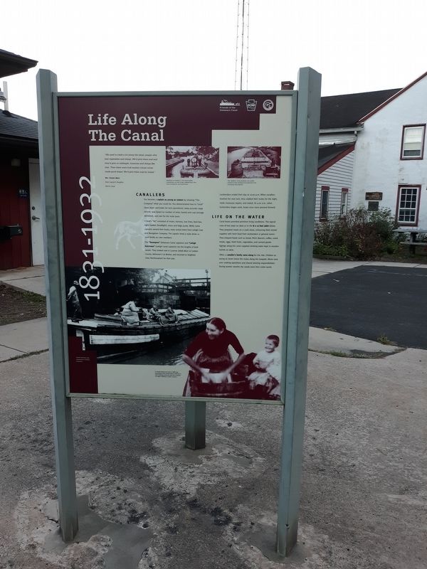
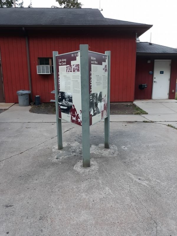
Life Along The Canal
1831-1932
— Delaware Canal Lock 19 State Park —
Mrs. Chester Mann
Boat Captain's Daughter
Morris Canal
Standing on a loaded L.C. & N. boat headed downstream, are, left to right, William Reed, Alex Gold, Joe Reed, Sr. and Louis Possie.
The "kitchen” of the canalboat was usually located on deck, keeping food preparation from interfering with progress.
Canallers
You became a captain as young as sixteen by showing “The Company” what you could do. You demonstrated how to "snub" (slow down and brake for lock operations), keep accurate cargo records (pay based on number of miles hauled and coal tonnage delivered), and care for the mule team.
A boat's "rig” consisted of mules, harness, tow lines, feed box, night hawker (headlight), stove and bilge pump. While some captains owned their boats, most rented them from Lehigh Coal and Navigation Company. The captain hired a mule driver or used family as crew members.
The "Swampers” (Delaware Canal captains) and "Lehigh Dutchmen” (Lehigh Canal captains) ran the lengths
of both canals. They loaded coal in Luzerne (1838-1862) or Carbon County, delivered it to Bristol, and returned to Seigfried (now Northampton) for their pay.Locktenders ended their day at 10:00 p.m. When canallers reached the next lock, they stabled their mules for the night, made necessary repairs, and rested. At 4:00 a.m., when locktenders began work, boats once more pressed forward.
Life On The Water
Canal boats provided primitive living conditions. The typical crew of two slept on deck or in the 8 x 10 foot cabin below. They prepared meals on a cook stove, enhancing their stored supplies with fresh food from locktenders or general stores. They enjoyed foods such as bread, flitch (bacon), coffee, cured meats, eggs, fresh fruits, vegetables, and canned goods. Springs along the canal supplied drinking water kept in wooden barrels on deck.
Often, a canaller's family came along for the ride. Children as
young as seven drove the mules along the towpath. Wives took
over cooking operations and shared steering responsibilities.
During warmer months the canals were their entire world.
Topics and series. This historical marker is listed in this topic list: Waterways & Vessels. In addition, it is included in the Delaware Canal (AKA Delaware Division of the Pennsylvania Canal) series list.
Location.
Other nearby markers. At least 8 other markers are within 2 miles of this marker, measured as the crow flies. Delaware Canal (here, next to this marker); Mules and Men (here, next to this marker); Canal Boats (here, next to this marker); a different marker also named Delaware Canal (a few steps from this marker); Hazzard's Bridge (approx. half a mile away); Veterans Memorial, Bridgeton Twp (approx. 1.4 miles away); Milford Railroad (approx. 1.4 miles away in New Jersey); Train Disaster (approx. 1.4 miles away in New Jersey). Touch for a list and map of all markers in Upper Black Eddy.
Credits. This page was last revised on December 31, 2020. It was originally submitted on December 30, 2020, by Craig Doda of Napoleon, Ohio. This page has been viewed 100 times since then and 12 times this year. Photos: 1, 2. submitted on December 30, 2020, by Craig Doda of Napoleon, Ohio. • Bill Pfingsten was the editor who published this page.

