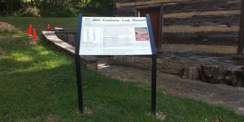
18th Century Log Houses

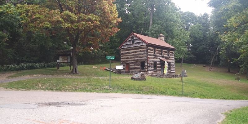
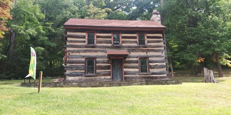
Log houses were the most common form of homes on the Western Frontier in the United States during the late 18th and early '19th centuries. Materials were readily accessible as land was cleared. Log homes were simple four wall structures made of hewn logs joined together at the corners by notching. There are various forms of corner notching ranging from the simple saddle notch to more complex forms like dovetail and square notches. The Kennedy Log House has V notch hewn logs which is one of the most common forms used in Western Pennsylvania.
Chinking and Daubing
Once the logs were notched together at the corners there was still a
significant gap, horizontally between the logs on the four sides. To seal
in the gaps and weatherproof the cabins, settlers performed a task
called
this page online
Many early log houses were just one-story. These cabins sometimes
had second stories added on later in the 18th century and the beginning
of the 19th century. This is also when many two-story houses were
built. Houses were rarely divided into individual rooms and two-story
houses often had a simple loft for the second story.
Erected by Washington County Historical Society.
Topics. This historical marker is listed in this topic list: Architecture. A significant historical year for this entry is 1848.
Location. 40° 10.25′ N, 80° 12.95′ W. Marker is in Washington, Pennsylvania, in Washington County. It is on Log Cabin Drive, on the right when traveling north. On the grounds of the Washington Park. Touch for map.

Regionally, this marker is in Greater Pittsburgh. It is also in the American Northeast, in the Mid-Atlantic, in Appalachia, and specifically in Northern Appalachia. Globally, it is in North America, the Western Hemisphere, the Western World, and the Anglosphere. Historically, it finds itself in what was once the Haudenosaunee (Iroquois) Confederacy and also one of the original Thirteen Colonies.
Other nearby markers. At least 8 other markers are within walking distance of this marker: Memorial Trail (here, next to this marker); Pancake (approx. ¾ mile away); Washington (approx. 0.8 miles away); 810 East Maiden Street (approx. 0.8 miles away); Community Honor Roll (approx. 0.8 miles away); 96 Lemoyne Avenue (approx. 0.9 miles away); 443 East Beau Street (approx. 0.9 miles away); Nicholas Cumer (approx. 0.9 miles away). Touch for a list and map of all markers in Washington.
Credits. This page was last revised on January 1, 2021. It was originally submitted on December 30, 2020, by Craig Doda of Napoleon, Ohio. This page has been viewed 1,228 times since then and 82 times this year. Photos: 1, 2, 3, 4. submitted on December 30, 2020, by Craig Doda of Napoleon, Ohio. • Bill Pfingsten was the editor who published this page.
