Montour Mine No. 4
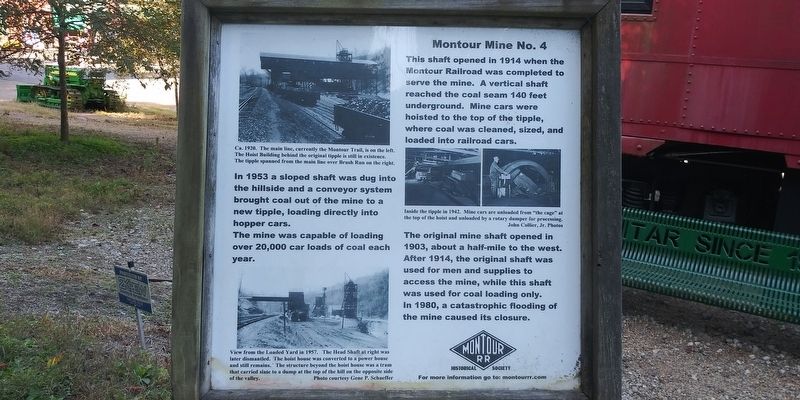
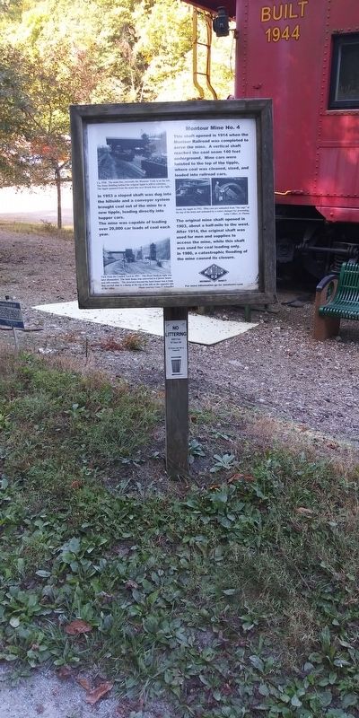
This shaft opened in 1914 when the Montour Railroad was completed to serve the mine. A vertical shaft reached the coal seam 140 feet underground. Mine cars were hoisted to the top of the tipple, where coal was cleaned, sized, and loaded into railroad cars.
The original mine shaft opened in 1903, about a half-mile to the west. After 1914, the original shaft was used for men and supplies to access the mine, while this shaft was used for coal loading only. In 1980, a catastrophic flooding of the mine caused its closure.
Ca. 1920. The main line, currently the Montour Trail, is on the left. The Hoist Building behind the original tipple is still in existence. The tipple spanned from the main line over Brush Run on the right.
Inside the tipple in 1942. Mine cars are unloaded from "the cage” at the top of the hoist and unloaded by a rotary dumper for processing. John Collier, Jr. Photos
View from the Loaded Yard in 1957. The Head Shaft at right was later dismantled. The hoist house was converted to a power house and still remains. The structure beyond the hoist
house was a tram that carried slate to a dump at the top of the hill on the opposite side of the valley. Photo courtesy Gene P. SchaefferErected by Montour RR Historical Society.
Topics. This historical marker is listed in these topic lists: Industry & Commerce • Railroads & Streetcars. A significant historical year for this entry is 1953.
Location. 40° 17.852′ N, 80° 6.54′ W. Marker is near Canonsburg, Pennsylvania, in Washington County. It is in Peters Township. Marker is on T.A.R. Avenue, on the right when traveling north. Touch for map. Marker is at or near this postal address: 107 Valley Brook Rd, Canonsburg PA 15317, United States of America. Touch for directions.
Other nearby markers. At least 8 other markers are within 3 miles of this marker, measured as the crow flies. Closing a railroad - Creating a trail (here, next to this marker); Milepost 32 - Signal Board (a few steps from this marker); X1 Railroad Crane (a few steps from this marker); Lotus Bridge (a few steps from this marker); Revolutionary War Soldiers (approx. 1.1 miles away); Montour Trail (approx. 2.3 miles away); Montour Railroad (approx. 2.3 miles away); Community Honor Roll (approx. 2.3 miles away). Touch for a list and map of all markers in Canonsburg.
Credits. This page was last revised on February 7, 2023. It was originally submitted on December 30, 2020, by Craig Doda of Napoleon, Ohio. This page has been viewed 369 times since then and 46 times this year. Photos: 1, 2, 3. submitted on December 30, 2020, by Craig Doda of Napoleon, Ohio. • Bill Pfingsten was the editor who published this page.


