Milepost 32 - Signal Board
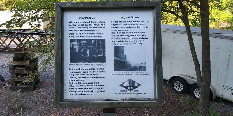
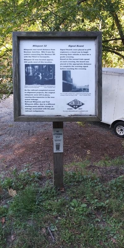
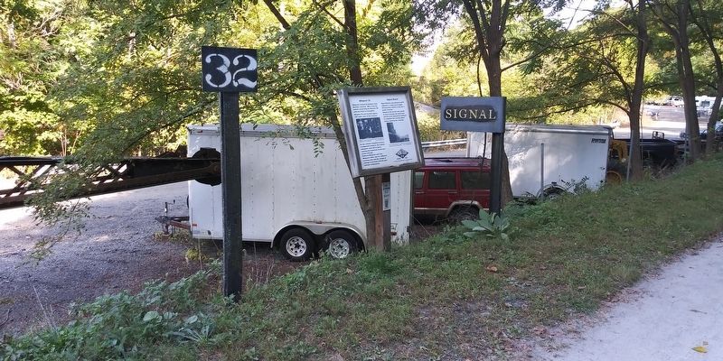
Mileposts measured distance from Montour Junction. Mile 0 was the switch connecting the Montour RR with the P&LE in Coraopolis. Milepost 32 was located approx. 200 yards west of this location.
As the railroad completed several re-alignment projects, the original mileposts were left in place, causing discrepancies in the new actual mileage.
Railroad Mileposts and Trail Mileposts differ, due to a different starting point and the change in mileage associated with the past railroad realignments.
Signal Boards were placed to give engineers a visual cue to begin blowing their whistle or horn for a grade crossing.
Based on the normal train speed at each crossing, the board was placed at the appropriate distance to complete the warning signal before reaching the crossing.
Milepost 32 is seen from the main line in 1975, with Montour #4's loaded yard in the background. Gene P. Schaeffer Photo
Near Coverdale in Bethel Park, a signal board protects the grade
crossing at South Park Road in 1980.
Gene P. Schaeffer Photo
Erected by Montour RR Historical Society.
Topics. This historical marker is listed in this topic list: Railroads & Streetcars. A significant historical year for this entry is 1975.
Location. 40° 17.858′ N, 80°
Other nearby markers. At least 8 other markers are within 3 miles of this marker, measured as the crow flies. X1 Railroad Crane (here, next to this marker); Lotus Bridge (here, next to this marker); Montour Mine No. 4 (a few steps from this marker); Closing a railroad - Creating a trail (a few steps from this marker); Revolutionary War Soldiers (approx. 1.1 miles away); Montour Trail (approx. 2.3 miles away); Montour Railroad (approx. 2.3 miles away); Community Honor Roll (approx. 2.3 miles away). Touch for a list and map of all markers in Canonsburg.
Credits. This page was last revised on February 7, 2023. It was originally submitted on December 30, 2020, by Craig Doda of Napoleon, Ohio. This page has been viewed 127 times since then and 11 times this year. Photos: 1, 2, 3. submitted on December 30, 2020, by Craig Doda of Napoleon, Ohio. • Bill Pfingsten was the editor who published this page.


