St. Charles in St. Charles County, Missouri — The American Midwest (Upper Plains)
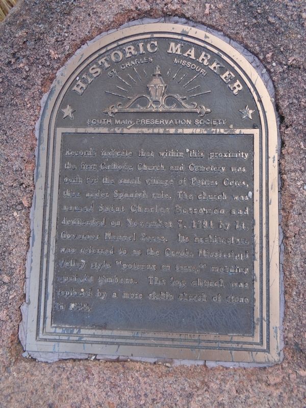
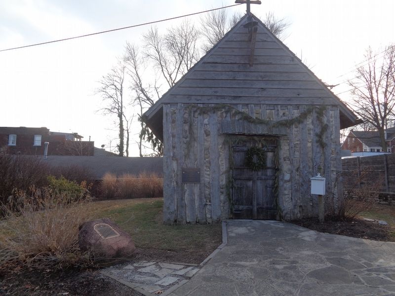
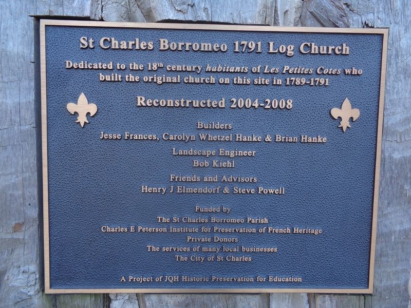
St. Charles Borromeo Log Church
South Main Preservation Society
Topics. This historical marker is listed in these topic lists: Cemeteries & Burial Sites • Churches & Religion. A significant historical date for this entry is November 7, 1791.
Location. 38° 46.725′ N, 90° 28.984′ W. Marker is in St. Charles, Missouri, in St. Charles County. Marker is on South Main Street east of Jackson Street. Touch for map. Marker is at or near this postal address: 401 S Main St, Saint Charles MO 63301, United States of America. Touch for directions.
Other nearby markers. At least 8 other markers are within walking distance of this marker. Home of Dr. Jeremiah Millington (within shouting distance of this marker); Stone Building / Brick Building (within shouting distance of this marker); Stone Row (about 300 feet away, measured in a direct line); History of 426 South Main Street (about 300 feet away); Secretary of State William Grymes Pettus (about 300 feet away); Home of Seth Millington (about 400 feet away); The Mother-in-Law House (about 400 feet away); First Missouri State Capitol Buildings (about 600 feet away). Touch for a list and map of all markers in St. Charles.
Credits. This page was last revised on December 31, 2020. It was originally submitted on December 31, 2020, by Jason Voigt of Glen Carbon, Illinois. This page has been viewed 194 times since then and 36 times this year. Photos: 1, 2, 3. submitted on December 31, 2020, by Jason Voigt of Glen Carbon, Illinois.


