Keedysville in Washington County, Maryland — The American Northeast (Mid-Atlantic)
Keedysville
Headquarters and Hospital Town
— Antietam Campaign 1862 —
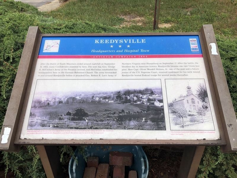
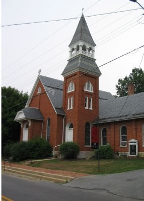
After the Battle of South Mountain ended around nightfall on September 14, 1862, many Confederates marched by here. The next day, Gen. George B. McClellan’s Army of the Potomac arrived, and McClellan established his headquarters here in the German Reformed Church. The army bivouacked in and around Keedysville before it attacked Gen. Robert E. Lee’s Army of Northern Virginia near Sharpsburg on September 17. After the battle, the bloodiest day in American history, Keedysville became one vast Union hospital. Here Capt. Oliver Wendell Homes, Jr., son of the poet and future justice of the U.S. Supreme Court, received treatment for his neck wound. Keedysville hosted Federal troops for several weeks thereafter.
Erected by Maryland Civil War Trails.
Topics and series. This historical marker is listed in this topic list: War, US Civil. In addition, it is included in the Maryland Civil War Trails series list. A significant historical date for this entry is September 14, 1862.
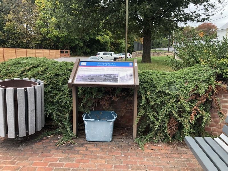
Location. 39° 29.287′ N, 77° 41.916′ W. Marker is in Keedysville, Maryland, in Washington County. Marker is at the intersection of Taylor Drive and North Main Street (Maryland Route 845), in the median on Taylor Drive. Touch for map. Marker is in this post office area: Keedysville MD 21756, United States of America. Touch for directions.
Other nearby markers. At least 10 other markers are within walking distance of this marker. Brandenburg Field (within shouting distance of this marker); Hess’s Mill Bridge (approx. 0.2 miles away); History of Fairview Cemetery (approx. 0.2 miles away); Keedysville World War I Memorial (approx. 0.2 miles away); Keedysville District World War II Memorial (approx. 0.3 miles away); Keedysville Korea & Vietnam Memorial (approx. 0.3 miles away); Pry’s Mill Bridge (approx. 0.6 miles away); Hitt Bridge (approx. 0.8 miles away); Pry Mill (approx. 0.8 miles away); Civil War Hospital Site (approx. 0.8 miles away). Touch for a list and map of all markers in Keedysville.
More about this marker. The marker displays two pictures. The main picture is of Keedysville in the 19th century, captioned, This photograph of Keedysville was taken from a range of hills overlooking the valley between the Antietam and South Mountain battlefields. Boonsboro and South Mountain can be seen in the background.
The smaller is a drawing of the church, captioned, The German Reformed Church was used as a hospital after the battle.
Also see . . .
1. History of Keedysville. Town website entry (Submitted on August 3, 2007, by Craig Swain of Leesburg, Virginia.)
2. Oliver Wendell Holmes Jr. Wikipedia
Credits. This page was last revised on March 29, 2022. It was originally submitted on July 12, 2007, by Craig Swain of Leesburg, Virginia. This page has been viewed 2,515 times since then and 51 times this year. Photos: 1, 2. submitted on October 12, 2020, by Devry Becker Jones of Washington, District of Columbia. 3. submitted on August 5, 2007, by Craig Swain of Leesburg, Virginia. • J. J. Prats was the editor who published this page.


