Woodbine in Nashville in Davidson County, Tennessee — The American South (East South Central)
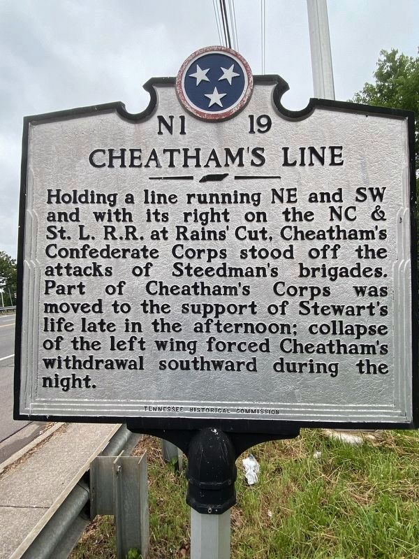
Cheathamís Line
Erected by Tennessee Historical Commission. (Marker Number N1 19.)
Topics and series. This historical marker is listed in this topic list: War, US Civil. In addition, it is included in the Tennessee Historical Commission series list.
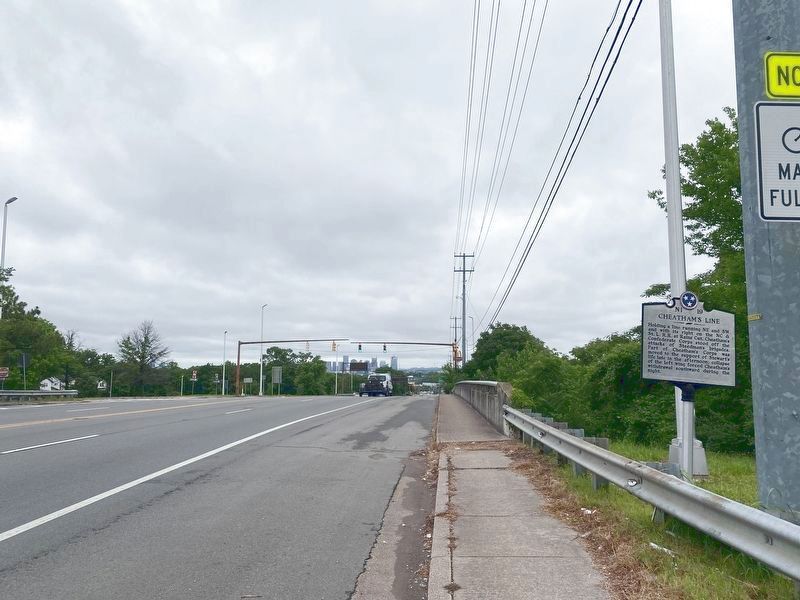
Location. 36° 7.281′ N, 86° 45.014′ W. Marker is in Nashville, Tennessee, in Davidson County. It is in Woodbine. Marker is at the intersection of Nolensville Pike and Forty-Four Parkway (Interstate 440), on the right when traveling north on Nolensville Pike. Touch for map. Marker is in this post office area: Nashville TN 37211, United States of America. Touch for directions.
Other nearby markers. At least 8 other markers are within walking distance of this marker. Woodbine (approx. 0.4 miles away); Melrose (approx. ĺ mile away); Carper Homestead (approx. ĺ mile away); Hospital Water Source (approx. ĺ mile away); Battle of Nashville (approx. 0.8 miles away); Into a Trap (approx. 0.8 miles away); Granburyís Lunette (approx. 0.8 miles away); Turner Grammar School (approx. one mile away). Touch for a list and map of all markers in Nashville.
Credits. This page was last revised on February 7, 2023. It was originally submitted on January 4, 2021, by Darren Jefferson Clay of Duluth, Georgia. This page has been viewed 315 times since then and 29 times this year. Photos: 1, 2. submitted on May 29, 2021, by Darren Jefferson Clay of Duluth, Georgia. • Bernard Fisher was the editor who published this page.

