Lewes Historic District in Sussex County, Delaware — The American Northeast (Mid-Atlantic)
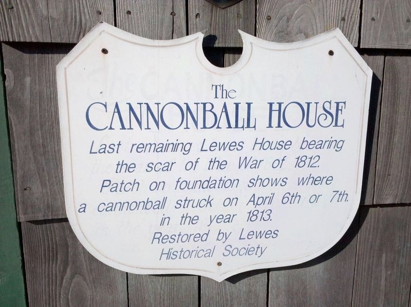
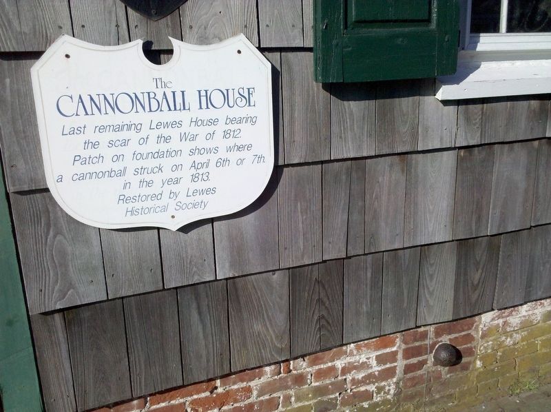
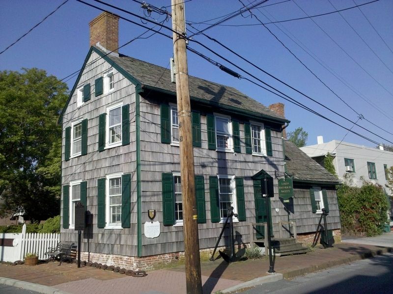
The Cannonball House
Erected by Lewes Historical Society.
Topics. This historical marker is listed in this topic list: War of 1812. A significant historical date for this entry is April 6, 1813.
Location. 38° 46.555′ N, 75° 8.361′ W. Marker is in Lewes, Delaware, in Sussex County. It is in the Lewes Historic District. Marker is at the intersection of Front Street (Local Road 267) and Bank Street, on the left when traveling west on Front Street. Touch for map. Marker is at or near this postal address: 118 Front St, Lewes DE 19958, United States of America. Touch for directions.
Other nearby markers. At least 8 other markers are within walking distance of this marker. A different marker also named The Cannonball House (here, next to this marker); The Explorations of Giovanni da Verrazzano (a few steps from this marker); Last Lewes Pilot Skiff (a few steps from this marker); The Bombardment of Lewes (within shouting distance of this marker); a different marker also named The Bombardment of Lewes (within shouting distance of this marker); The War of 1812 (within shouting distance of this marker); Otis H. Smith City Dock (within shouting distance of this marker); Dodds Corner (within shouting distance of this marker). Touch for a list and map of all markers in Lewes.
Credits. This page was last revised on February 10, 2023. It was originally submitted on January 6, 2021, by F. Robby of Baltimore, Maryland. This page has been viewed 210 times since then and 29 times this year. Photos: 1, 2, 3. submitted on May 4, 2010, by F. Robby of Baltimore, Maryland. • Devry Becker Jones was the editor who published this page.


