Aurora in Erie County, New York — The American Northeast (Mid-Atlantic)
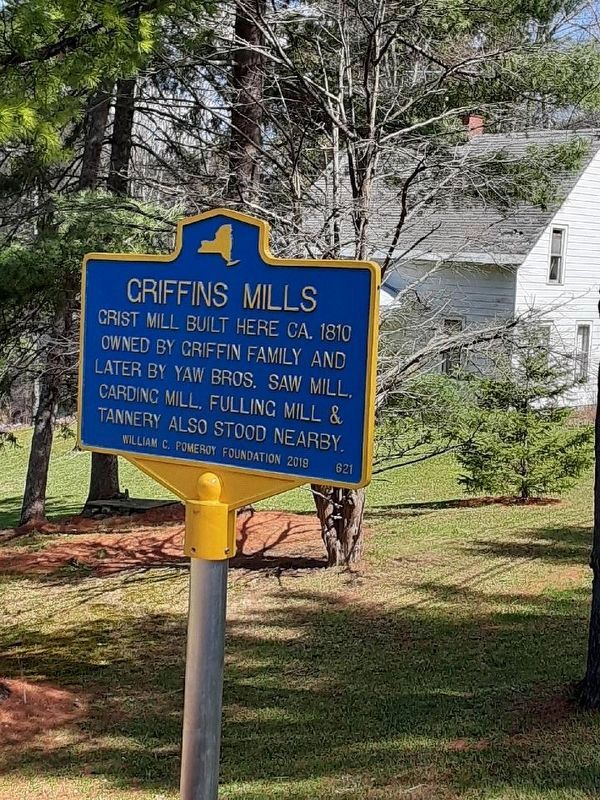
Griffins Mills
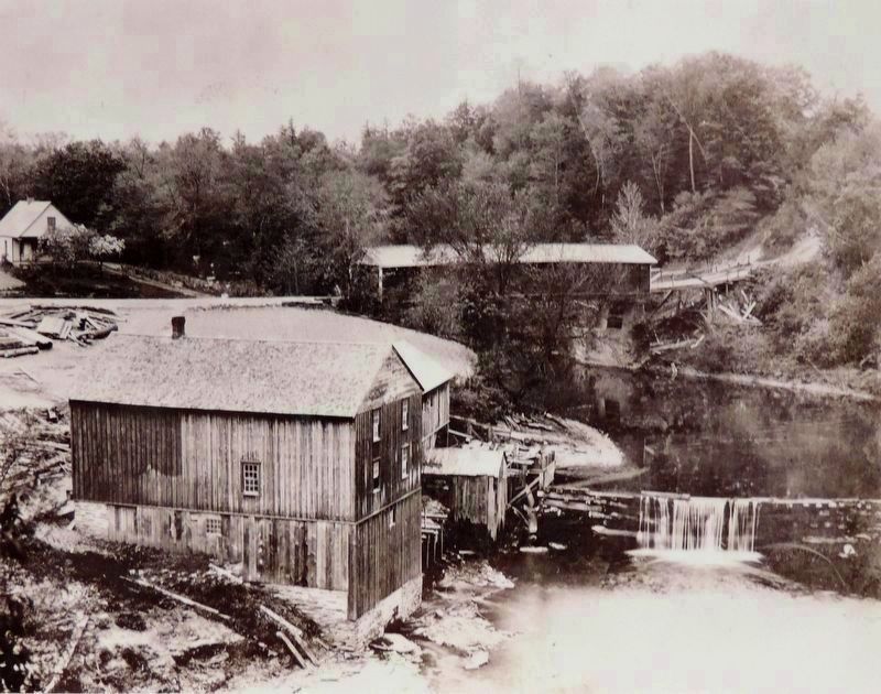
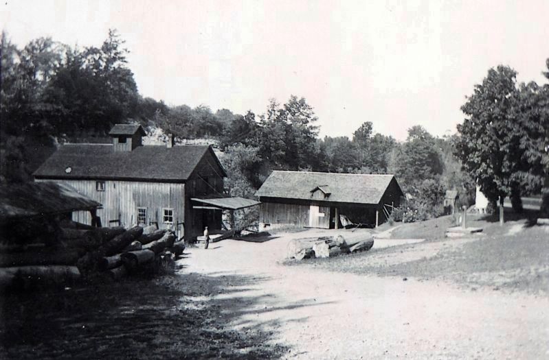
Grist mill built here ca. 1810 Owned by Griffins family and later by Yaw bros. Saw mill, carding mill, fulling mill & tannery also stood nearby.
Erected 2019 by William G. Pomeroy Foundation. (Marker Number 621.)
Topics. This historical marker is listed in these topic lists: Industry & Commerce • Settlements & Settlers. A significant historical year for this entry is 1810.
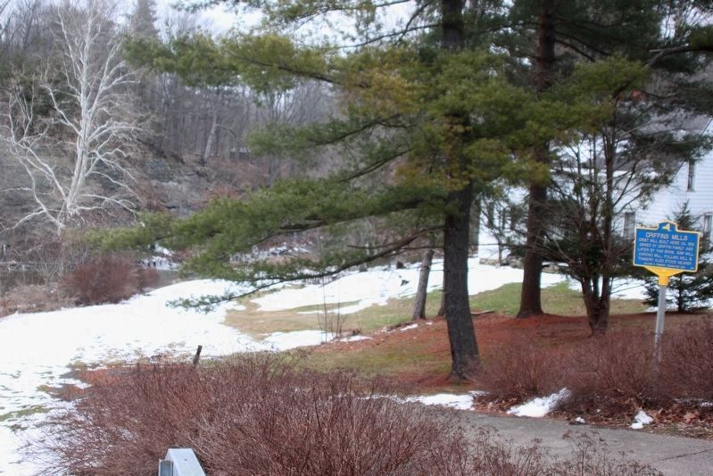
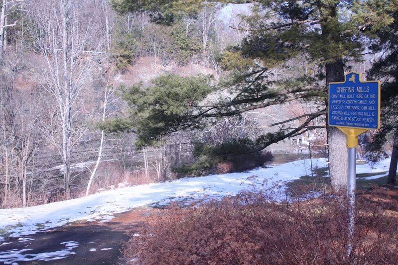
Location. 42° 43.45′ N, 78° 40.128′ W. Marker is in Aurora, New York, in Erie County. Marker is on Mill Road (County Route 47) 0.6 miles Davis Road (New York State Route 240), on the left when traveling east. Touch for map. Marker is at or near this postal address: 1869 Mill Road, West Falls NY 14170, United States of America. Touch for directions.
Other nearby markers. At least 8 other markers are within 4 miles of this marker, measured as the crow flies. W. Aurora Church (approx. 0.2 miles away); Aurora (approx. 1.3 miles away); Dedicated to Those Who Served (approx. 1.7 miles away); Honor Roll (approx. 1.7 miles away); a different marker also named Aurora (approx. 1.7 miles away); Republic F-84 (approx. 3.3 miles away); UH-1 Helicopter (approx. 3.3 miles away); a different marker also named Dedicated to Those Who Served (approx. 3.3 miles away). Touch for a list and map of all markers in Aurora.
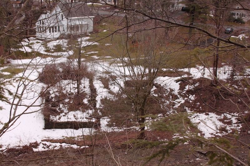
Regarding Griffins Mills. The foundation of mill is still visible.
Also see . . . Griffins Mills, New York - Wikipedia. Griffins Mills was originally named Smith's Mills. In 1806, Abram Smith and his son Humphrey purchased this site along with two other sites along Cazenovia Creek. In 1809, Humphrey Smith had dammed Cazenovia Creek and had established a mill at this location. (Submitted on January 16, 2021, by Alan K Davis of East Aurora, New York.)
Credits. This page was last revised on January 30, 2021. It was originally submitted on January 6, 2021, by Alan K Davis of East Aurora, New York. This page has been viewed 218 times since then and 29 times this year. Photos: 1. submitted on January 6, 2021, by Alan K Davis of East Aurora, New York. 2, 3, 4. submitted on January 16, 2021, by Alan K Davis of East Aurora, New York. 5, 6. submitted on January 21, 2021, by Alan K Davis of East Aurora, New York. • Michael Herrick was the editor who published this page.
