Havre de Grace in Harford County, Maryland — The American Northeast (Mid-Atlantic)
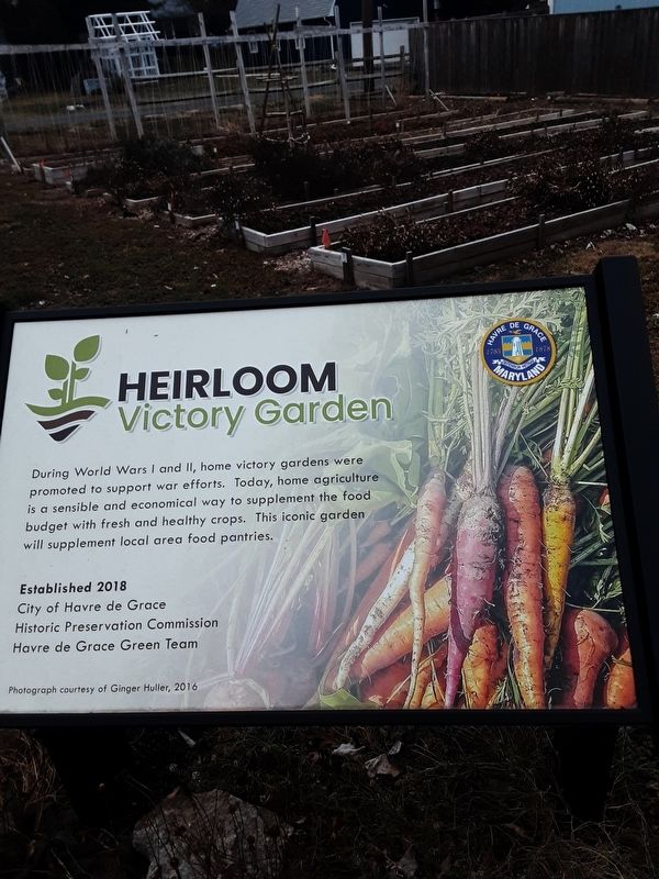
Heirloom
Victory Garden
Established 2018
City of Havre de Grace
Historic Preservation Commission
Havre de Grace Green Team
Photograph courtesy of Ginger Huller, 2016
Havre de Grace [,] Maryland 1785 1878 defensor patriae
Erected by City of Havre de Grace.
Topics. This historical marker is listed in this topic list: Agriculture.
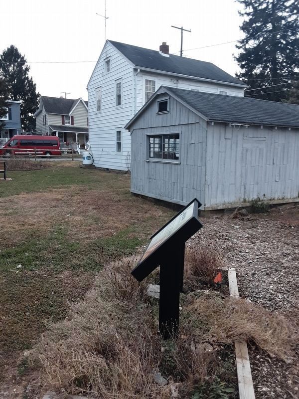
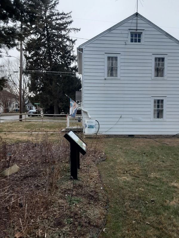
Location. 39° 32.455′ N, 76° 5.312′ W. Marker is in Havre de Grace, Maryland, in Harford County. Marker is on Lafayette Street, on the right when traveling west. This is just behind the Moore Family Homestead. Touch for map. Marker is at or near this postal address: 319 Lafayette Street, Havre de Grace MD 21078, United States of America. Touch for directions.
Other nearby markers. At least 8 other markers are within walking distance of this marker. On September 9, 1976 – (within shouting distance of this marker); This Wye Oak (about 500 feet away, measured in a direct line); The Boyer Family Shad Shack (about 500 feet away); Pensell Propeller (about 600 feet away); Anchors (about 600 feet away); Aids to Navigation Fog Bell (about 600 feet away); Nun Buoy (about 700 feet away); The Bayou (about 700 feet away). Touch for a list and map of all markers in Havre de Grace.
Credits. This page was last revised on January 14, 2021. It was originally submitted on January 8, 2021, by Carl Gordon Moore Jr. of North East, Maryland. This page has been viewed 114 times since then and 6 times this year. Photos: 1, 2. submitted on January 8, 2021, by Carl Gordon Moore Jr. of North East, Maryland. 3, 4. submitted on January 9, 2021, by Carl Gordon Moore Jr. of North East, Maryland. • Bill Pfingsten was the editor who published this page.


