Animals in Flux
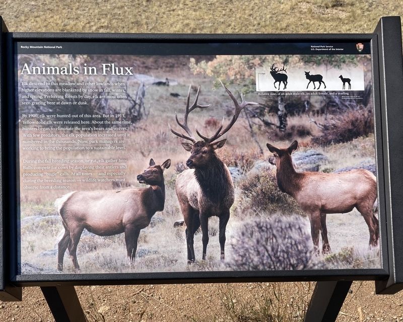
By 1900, elk were hunted out of this area. But in 1913, Yellowstone elk were released here. About the same time, hunters began to eliminate the area's bears and wolves. With few predators, the elk population increased until it numbered in the thousands. Now, park managers are working to bring the population to a sustainable level.
During the fall breeding season, or rut, elk gather here. Bulls compete for cows by displaying their antlers and producing "bugle” calls. At all times - and especially during the breeding season wildlife watchers must observe from a distance.
Caption: Relative sizes of an adult male elk, an adult female, and a yearling
Erected by USDI National Park Service.
Topics. This historical marker is listed in these topic lists: Animals • Parks & Recreational Areas. A significant historical year for this entry is 1900.
Location. 40° 24.279′ N, 105° 37.157′ W. Marker is in
this page online

Regionally, this marker is in Colorado’s Front Range. It is also in the American Mountain West. Globally, it is in North America, the Rocky Mountains, the Western Hemisphere, the Western World, and the Anglosphere. Historically, it finds itself in what was once the Louisiana Purchase.
Other nearby markers. At least 8 other markers are within 5 miles of this marker, measured as the crow flies: The Woodpecker Army (approx. 1.1 miles away); Rocky Mountain’s “Parks” (approx. 1.4 miles away); Ancient Paths, Ancient Peoples (approx. 2.2 miles away); Changing Times Bring Changing Uses (approx. 2.2 miles away); Horseshoe Park (approx. 2.3 miles away); Rocky Mountain National Park Administration Building (approx. 4.1 miles away); Stephen Tyng Mather (approx. 4.1 miles away); Beaver Meadows Visitor Center (approx. 4.1 miles away). Touch for a list and map of all

Credits. This page was last revised on January 15, 2021. It was originally submitted on January 9, 2021, by Connor Olson of Menomonee Falls, Wisconsin. This page has been viewed 269 times since then and 17 times this year. Photos: 1, 2. submitted on January 9, 2021, by Connor Olson of Menomonee Falls, Wisconsin. • Bill Pfingsten was the editor who published this page.
