Celeste in Hunt County, Texas — The American South (West South Central)
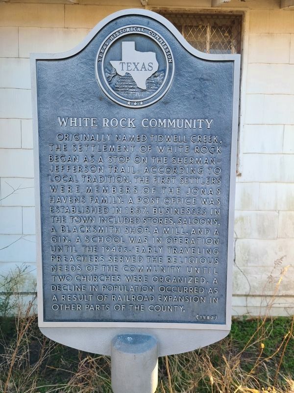
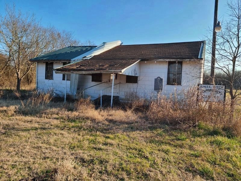
White Rock Community
Originally named Tidwell Creek, the settlement of White Rock began as a stop on the Sherman-Jefferson Trail. According to local tradition, the first settlers were members of the Jonas Havens family. A post office was established in 1857. Businesses in the town included stores, saloons, a blacksmith shop, a mill, and a gin. A school was in operation until the 1940s. Early traveling preachers served the religious needs of the community until two churches were organized. A decline in population occurred as a result of railroad expansion in other parts of the county.
Erected 1987 by Texas Historical Commission. (Marker Number 7839.)
Topics. This historical marker is listed in this topic list: Settlements & Settlers. A significant historical year for this entry is 1857.
Location. 33° 16.096′ N, 96° 7.134′ W. Marker is in Celeste, Texas, in Hunt County. Marker is at the intersection of Highway 1566 and Highway 1040, on the right when traveling east on Highway 1566. Touch for map. Marker is in this post office area: Celeste TX 75423, United States of America. Touch for directions.
Other nearby markers. At least 8 other markers are within 5 miles of this marker, measured as the crow flies. White Rock Methodist Church (within shouting distance of this marker); White Rock Baptist Church (about 400 feet away, measured in a direct line); Kingston Baptist Church (approx. 3˝ miles away); Harrell Camp Ground (approx. 3˝ miles away); Old National Road Crossing (approx. 3˝ miles away); Birthplace of Audie Murphy (approx. 3.6 miles away); Central National Road of The Republic of Texas (approx. 4.4 miles away); Audie Murphy (approx. 4˝ miles away).
Credits. This page was last revised on January 9, 2021. It was originally submitted on January 9, 2021, by Jesse Nelsen of Farmersville, Texas. This page has been viewed 356 times since then and 48 times this year. Photos: 1, 2. submitted on January 9, 2021, by Jesse Nelsen of Farmersville, Texas. • J. Makali Bruton was the editor who published this page.

