Greenville in Hunt County, Texas — The American South (West South Central)
White Rock Methodist Church
Photographed by Jesse Nelsen, January 8, 2021
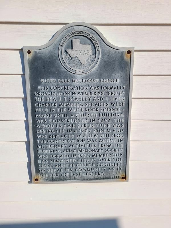
1. White Rock Methodist Church Marker
This congregation was formally organized on November 25, 1880, by the Rev. J. T. Stanley and eleven charter members. Services were held in the White Rock Schoolhouse until a church building was constructed in 1898. The wood frame structure was destroyed in a 1907 storm and was replaced by a new building. The congregation was active in missionary activities from the beginning, and a missionary society was formed in 1924. Membership has remained steady over the years, and the church continues to serve its community as it has for the past century.
Erected 1987 by Texas Historical Commission. (Marker Number 7840.)
Topics. This historical marker is listed in this topic list: Religion & Religious Structures. A significant historical date for this entry is November 25, 1880.
Location. 33° 16.114′ N, 96° 7.118′ W. Marker is in Greenville, Texas, in Hunt County. It is on Highway 1566, on the right when traveling east. Touch for map. Marker is in this post office area: Wolfe City TX 75496, United States of America. Touch for directions.

Regionally, this marker is in the Prairies & Lakes Region and in the Dallas-Fort Worth Metropolitan Area.
this page online
Other nearby markers. At least 8 other markers are within 5 miles of this marker, measured as the crow flies: White Rock Community (within shouting distance of this marker); White Rock Baptist Church (about 400 feet away, measured in a direct line); Kingston Baptist Church (approx. 3½ miles away); Old National Road Crossing (approx. 3½ miles away); Harrell Camp Ground (approx. 3½ miles away); The Shields Giants (approx. 3½ miles away); Birthplace of Audie Murphy (approx. 3.6 miles away); Central National Road of The Republic of Texas (approx. 4.4 miles away). Touch for a list and map of all markers in Greenville.
Photographed by Jesse Nelsen, January 8, 2021
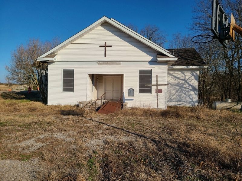
2. White Rock Methodist Church and Marker
Credits. This page was last revised on January 10, 2021. It was originally submitted on January 9, 2021, by Jesse Nelsen of Farmersville, Texas. This page has been viewed 354 times since then and 36 times this year. Photos: 1, 2. submitted on January 9, 2021, by Jesse Nelsen of Farmersville, Texas. • J. Makali Bruton was the editor who published this page.
