Wolf in Carter County, Kentucky — The American South (East South Central)
Seasonal Tours
Saltpetre Cave
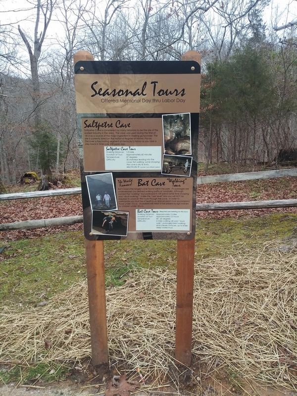
Photographed by Craig Doda, January 7, 2021
1. Seasonal Tours Marker
Topics. This historical marker is listed in these topic lists: Industry & Commerce • Natural Resources • War of 1812. A significant historical year for this entry is 1812.
Location. 38° 22.65′ N, 83° 7.383′ W. Marker is in Wolf, Kentucky, in Carter County. It is on Local Road 8024A 0.2 miles east of Cave Road, on the right when traveling north. The marker is on the grounds of the Carter Caves State Resort Park. Touch for map. Marker is in this post office area: Olive Hill KY 41164, United States of America. Touch for directions.

Regionally, this marker is in the Kyova Tri-State Region and in the Cumberland Plateau. It is also in the American South, specifically in the Upper South, in Appalachia, and specifically in Southern Appalachia.
this page online
Other nearby markers. At least 8 other markers are within 7 miles of this marker, measured as the crow flies: The Caves Of Carter County (here, next to this marker); Saltpeter Cave (about 300 feet away, measured in a direct line); Aviation Pioneer / Matthew B. Sellers (approx. 4.1 miles away); Home of Gov. Fields (approx. 5 miles away); Carter County 20th Century War Memorial (approx. 5.8 miles away); Historical Mural by Northeast WIA Youth (approx. 5.9 miles away); Tom T. Hall (approx. 5.9 miles away); Beckham County (approx. 6½ miles away). Touch for a list and map of all markers in Wolf.
Regarding Seasonal Tours. Non-historical information on the marker has not been included.
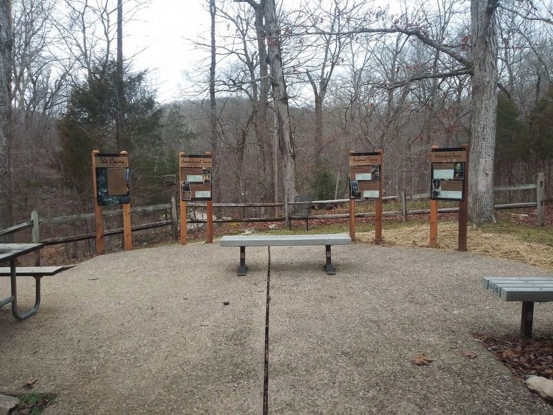
Photographed by Craig Doda, January 7, 2021
2. Seasonal Tours Marker
Credits. This page was last revised on January 12, 2021. It was originally submitted on January 10, 2021, by Craig Doda of Napoleon, Ohio. This page has been viewed 226 times since then and 14 times this year. Photos: 1, 2. submitted on January 10, 2021, by Craig Doda of Napoleon, Ohio. • Devry Becker Jones was the editor who published this page.
