Kingston in Roane County, Tennessee — The American South (East South Central)
Blockhouse #13
Photographed by Tom Bosse, November 7, 2020
1. Blockhouse #13 Marker
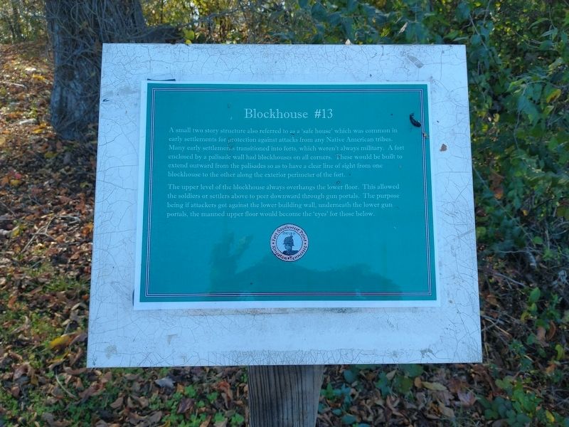
A small two story structure also referred to as a ‘safe house’ which was common in early settlements for protection against attacks from any Native American tribes. Many early settlements transitioned into forts, which weren’t always military. A fort enclosed by a palisade wall had blockhouses on all corners. These would be built to extend outward from the palisades so as to have a clear line of sight from one blockhouse to the other along the exterior perimeter of the fort.
The upper level of the blockhouse always overhangs the lower floor. This allowed the soldiers or settlers above to peer downward through gun portals. The purpose being if attacked got against the lower building wall underneath the lower gun portals, the manned upper floor would become the ‘eyes’ for those below.
Topics. This historical marker is listed in this topic list: Forts and Castles.
Location. 35° 51.639′ N, 84° 31.77′ W. Marker is in Kingston, Tennessee, in Roane County. It can be reached from South Kentucky Street north of Shannon Place, on the left when traveling north. Marker is located
this page online

Regionally, this marker is in East Tennessee and in Greater Knoxville. It is also in the American South, specifically in the Upper South, in Appalachia, and specifically in Southern Appalachia. Globally, it is in North America, the Western Hemisphere, the Western World, and the Anglosphere. Historically, it finds itself in what was once the original Cherokee Nation, the territory of the Mississippian Culture, one of the Confederate States of America, and the Antebellum South.
Other nearby markers. At least 8 other markers are within walking distance of this marker: Fort Privy 2 (a few steps from this marker); Southwest Stonewall (a few steps from this marker); Blockhouse #11 (a few steps from this marker); Command and Administrative Building #3 (a few steps from this marker); Pillory (a few steps from this marker); Court Martial of Private Abraham Setts (a few steps from this marker); Quartermaster’s Supply Building #15 (within shouting distance of
Photographed by Tom Bosse, November 7, 2020
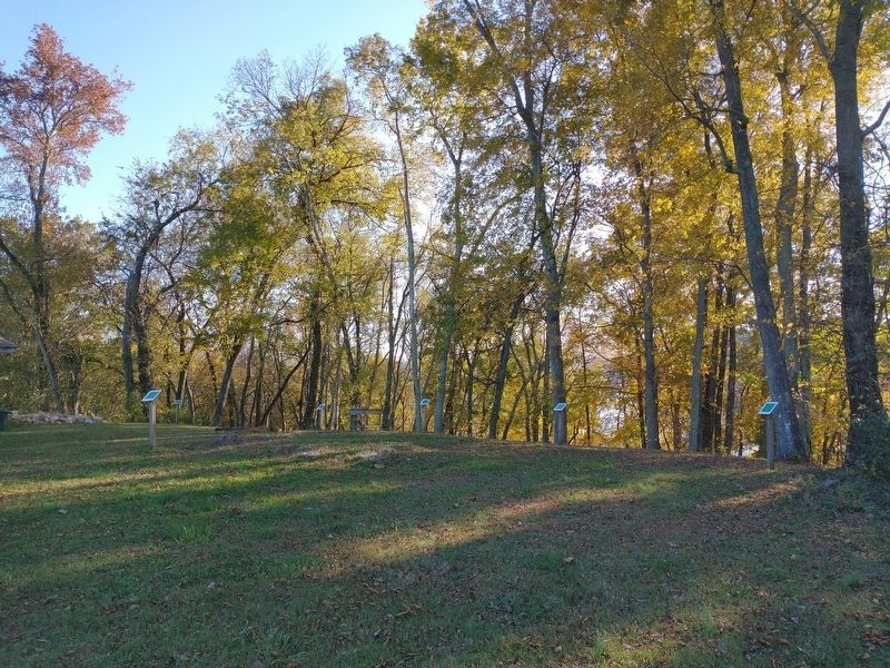
2. Blockhouse #13 Marker
Photographed by Tom Bosse, November 7, 2020
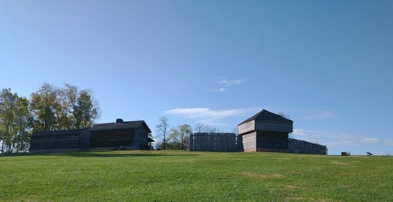
3. Fort Southwest Point
Credits. This page was last revised on January 12, 2021. It was originally submitted on January 10, 2021, by Tom Bosse of Jefferson City, Tennessee. This page has been viewed 239 times since then and 12 times this year. Photos: 1, 2, 3. submitted on January 10, 2021, by Tom Bosse of Jefferson City, Tennessee. • Devry Becker Jones was the editor who published this page.
