Near Miles City in Custer County, Montana — The American West (Mountains)
Historic Farming
Inscription.
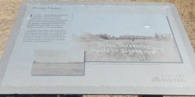
In the 1880, railroad company promotional campaigns lured farmers to Eastern Montana. They arrived with the idea of transforming the planes into rich fields of grain. However big wheat yields did not last long. The drought and dust storms of 1919 seared the fields, and in the 1920s farms began to disappear as rapidly as they had sprung up.
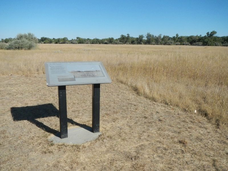
In subsequent years, vigorous measures were taken to aid agriculture and by the late 1940s, federal dam and irrigation projects opened many acres to cultivation. The open area before you was seeded to create wheatgrass and smooth brome after the flood in 1978. Alfalfa hay and corn were also raised here. Attempts to farm the island were eventually abandoned because of the unpredictable nature of the ever-changing river levels.
Erected by Montana State Parks.
Topics. This historical marker is listed in this topic list: Agriculture.
Location. 46° 26.366′ N, 105° 49.299′ W. Marker is near Miles City, Montana, in Custer County. Marker can be reached from State Road 489 near State Highway 59. The maker is located along the foot trails in Pirogue State Park. The park parking lot is at the end of an unnamed dirt road off of Montana 489. Touch for map. Marker is in this post office area: Miles City MT 59301, United States of America. Touch for directions.
Other nearby markers. At least 8 other markers are within 3 miles of this marker, measured as the crow flies. History Written on Trees (approx. ¼ mile away); Holy Rosary Hospital (approx. 2.1 miles away); Ed and Doris Love House (approx. 2.2 miles away); Lukes / Love House (approx. 2.2 miles away); Anderson Bungalow (approx. 2.2 miles away); Stacy Residence (approx. 2.2 miles away); Dr. Gray Residence (approx. 2.2 miles away); Coleman Residence (approx. 2.2 miles away). Touch for a list and map of all markers in Miles City.
Credits. This page was last revised on January 10, 2021. It was originally submitted on January 10, 2021, by Barry Swackhamer of Brentwood, California. This page has been viewed 96 times since then and 10 times this year. Photos: 1, 2. submitted on January 10, 2021, by Barry Swackhamer of Brentwood, California.

