Cape Canaveral in Brevard County, Florida — The American South (South Atlantic)
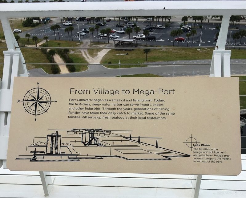
From Village to Mega-Port
Port Canaveral began as a small oil and fishing port. Today, the first-class, deep-water harbor can serve import, export and other industries. Through the years, generations of fishing families have taken their daily catch to market. Some of the same families still serve up fresh seafood at their local restaurants.
Look Closer
The facilities in the foreground hold cement and petroleum. Hugh cargo vessels transport the freight in and out of the Port.
Topics. This historical marker is listed in these topic lists: Animals • Industry & Commerce • Settlements & Settlers • Waterways & Vessels.
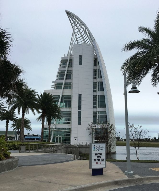
Location. 28° 24.391′ N, 80° 37.054′ W. Marker is in Cape Canaveral, Florida, in Brevard County. Marker can be reached from Dave Nisbet Drive, 0.2 miles west of George J. King Boulevard, on the right when traveling west. The marker is located on the 7th floor observation deck of the Exploration Tower of Port Canaveral. Touch for map. Marker is at or near this postal address: 670 Dave Nisbet Dr, Cape Canaveral FL 32920, United States of America. Touch for directions.
Other nearby markers. At least 8 other markers are within walking distance of this marker. Military at Work in the Port (here, next to this marker); "We Have Liftoff" (here, next to this marker); Cruise In, Cruise Out (here, next to this marker); To and From the Banana River (here, next to this marker); Historic Downtown Titusville (a few steps from this marker); Cape Canaveral Air Force Station (a few steps from this marker); Port Canaveral Historic Milestones (about 700 feet away, measured in a direct line); a different marker also named Port Canaveral Historic Milestones (about 700 feet away). Touch for a list and map of all markers in Cape Canaveral.
Also see . . . Exploration Tower of Port Canaveral. (Submitted on January 10, 2021, by Brandon D Cross of Flagler Beach, Florida.)
Credits. This page was last revised on January 15, 2021. It was originally submitted on January 10, 2021, by Brandon D Cross of Flagler Beach, Florida. This page has been viewed 131 times since then and 9 times this year. Photos: 1, 2, 3. submitted on January 10, 2021, by Brandon D Cross of Flagler Beach, Florida. • Devry Becker Jones was the editor who published this page.


