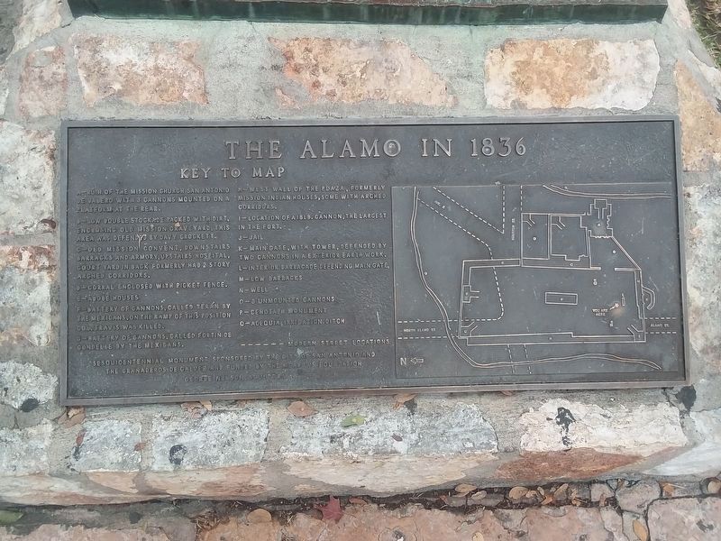
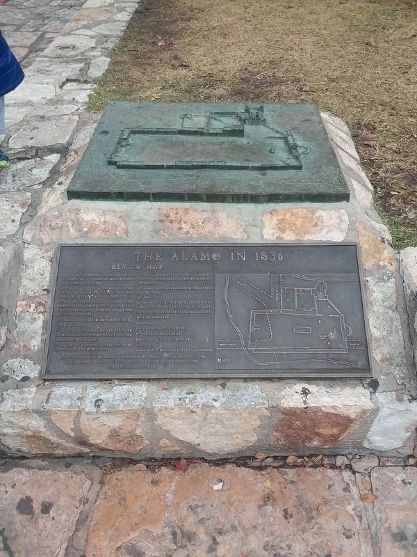
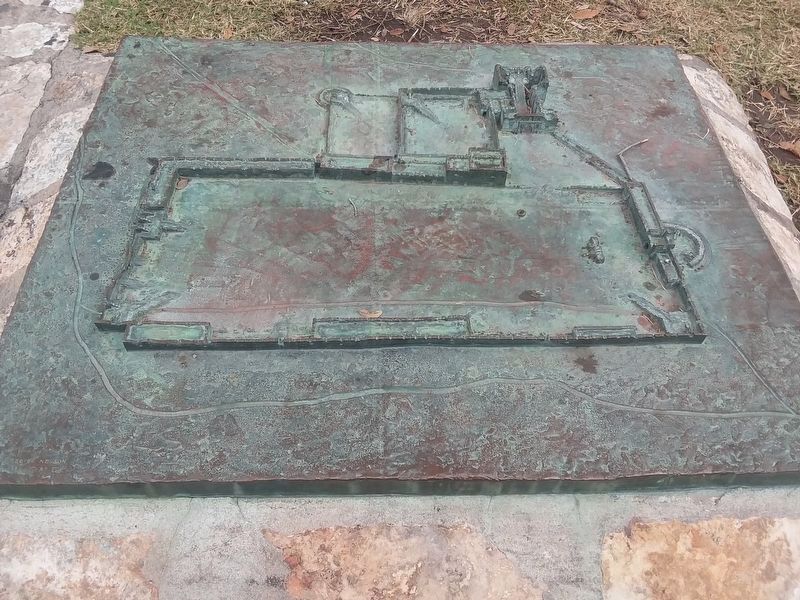
The Alamo in 1836
A - Ruin of the mission church San Antonio de Valero with 3 cannons mounted on a platform at the rear.
B - Low double stockade packed with dirt, enclosing old mission graveyard, this area was defended by Davy Crockett.
C - Old mission convent, downstairs barracks and armory, upstairs hospital, court yard in back formerly had 2 story arched. corridors.
D - Corral enclosed with picket fence.
E-Adobe houses
F - Battery of cannons, called Teran by the Mexicans, on the ramp of this position Gov. Travis was killed.
G - Battery of cannons, called Fortin de Condelle by the Mexicans.
H - West wall of the plaza, formerly mission Indian houses, some with arched corridors.
I - Location of a 18 lb. cannon, the largest in the fort.
J - Jail
K - Main gate, with tower, defended by two cannons in a exterior earth work.
L - Interior barracade defending main gate
M - Low barracks
N - Well
O - 3 Unmounted cannons
P - Cenotaph monument
Q - Acequia, irrigation ditch
Sesquicentennial monument sponsored by the city of San Antonio and
The Granaderos de Galvez and funded by the Meadows Foundation.
George Nelson, sculptor
Topics. This historical marker is listed in this topic list: Forts and Castles.
Location.
Other nearby markers. At least 8 other markers are within walking distance of this marker. Alamo Low Barracks and Main Gateway (a few steps from this marker); a different marker also named The Alamo in 1836 (within shouting distance of this marker); 4 Pound Replica Cannons (within shouting distance of this marker); Adina de Zavala (within shouting distance of this marker); Mission San Antonio de Valero Indian Quarters (within shouting distance of this marker); a different marker also named The Alamo in 1836 (within shouting distance of this marker); The Defense of The Alamo (within shouting distance of this marker); Founding of the Mission and Origin of Name (within shouting distance of this marker). Touch for a list and map of all markers in San Antonio.
Credits. This page was last revised on February 2, 2023. It was originally submitted on January 11, 2021, by Craig Doda of Napoleon, Ohio. This page has been viewed 252 times since then and 41 times this year. Photos: 1, 2, 3. submitted on January 11, 2021, by Craig Doda of Napoleon, Ohio. • J. Makali Bruton was the editor who published this page.


