Relampago in Hidalgo County, Texas — The American South (West South Central)
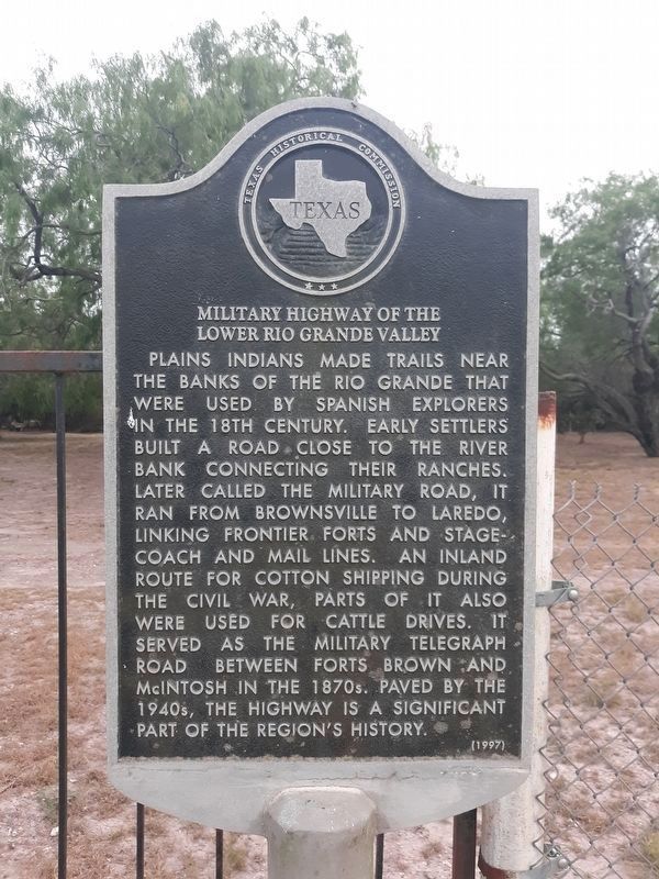
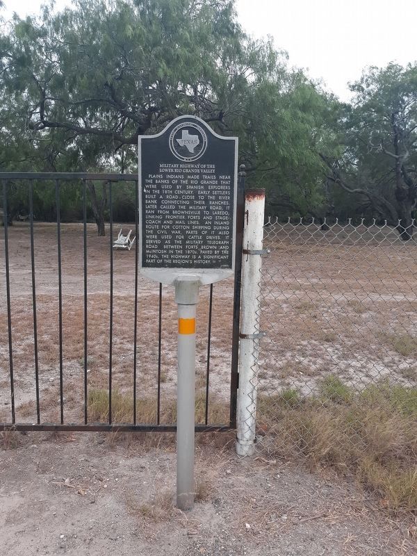
Military Highway of the Lower Rio Grande Valley
Plains Indians made trails near the banks of the rio Grande that were used by Spanish explorers in the 18th century. Early settlers built a road close to the river bank connecting their ranches. Later called the Military Road, it ran from Brownsville to Laredo, linking frontier forts and stagecoach and mail lines. An inland route for cotton shipping during the Civil War, parts of it also were used for cattle drives. It served as the military telegraph road between Forts Brown and McIntosh in the 1870s. Paved by the 1940s, the highway is a significant part of the region's history.
Erected 1997 by Texas Historical Commission. (Marker Number 12064.)
Topics. This historical marker is listed in these topic lists: Exploration • Roads & Vehicles.
Location. 26° 5.093′ N, 97° 55.145′ W. Marker is in Relampago, Texas, in Hidalgo County. Marker is on Military Highway (U.S. 281), on the right when traveling east. Touch for map. Marker is in this post office area: Mercedes TX 78570, United States of America. Touch for directions.
Other nearby markers. At least 8 other markers are within 4 miles of this marker, measured as the crow flies. Relampago Ranch (here, next to this marker); Battle of La Bolsa (approx. 1.4 miles away); El Horcon Tract and Rio Rico (approx. 1.8 miles away); Former Station Site of Spiderweb Railroad (approx. 2˝ miles away); Progreso (approx. 2˝ miles away); Ebony Grove Cemetery (approx. 3.1 miles away); Temple Beth Israel (approx. 4 miles away); Camp Mercedes (approx. 4 miles away).
Credits. This page was last revised on January 12, 2021. It was originally submitted on January 11, 2021, by Craig Doda of Napoleon, Ohio. This page has been viewed 766 times since then and 152 times this year. Photos: 1, 2, 3. submitted on January 11, 2021, by Craig Doda of Napoleon, Ohio. • J. Makali Bruton was the editor who published this page.


