The Land
Rich Heritage
— Hamilton Park —
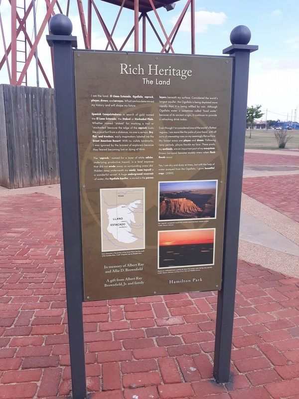
I am the land. El Llano Estacado, Ogallala, caprock, playas, draws, and arroyos. What I am has determined my history and will shape my future.
Spanish Conquistadores in search of gold named me El Llano Estacado, the Staked or Stockaded Plain. Whether named "staked” for marking a trail or "stockaded" because the edge of the caprock looks like a post fort from a distance, no one is certain. Dry, flat, and treeless, early mapmakers labeled me the Great American Desert! With no visible landmarks, I was ignored by the bravest of explorers because they feared becoming lost or dying of thirst.
The "caprock,” named for a layer of white caliche, underlying productive topsoil, is a level expanse that did not erode away as surrounding areas did. Hidden deep underneath my sandy loam topsoil is a wonderful secret! A huge underground reservoir of water, the Ogallala Aquifer, is stored in the porous layers beneath my surface. Considered the world's largest aquifer, the Ogallala is being depleted more rapidly than it is being refilled by rain. Although Ogallala water is sometimes called "fossil water" because of its ancient origin, it continues to provide a refreshing drink today.
Even though I'm considered one of the world's flattest regions, I am more like the palm of your hand, with all sorts
of interesting rises on my seemingly flat surface. My lowest areas are playas and draws. Following rainy periods, playas freckle my face. These pools, my wetlands, are an important part of my ecosystem. Draws (arroyos) become muddy rivers when flash floods occur.
Yes, I am dry and dusty at times, but with the help of
water pumped from the Ogallala, I grow bountiful
crops.
Erected 2005.
Topics. This historical marker is listed in these topic lists: Agriculture • Industry & Commerce.
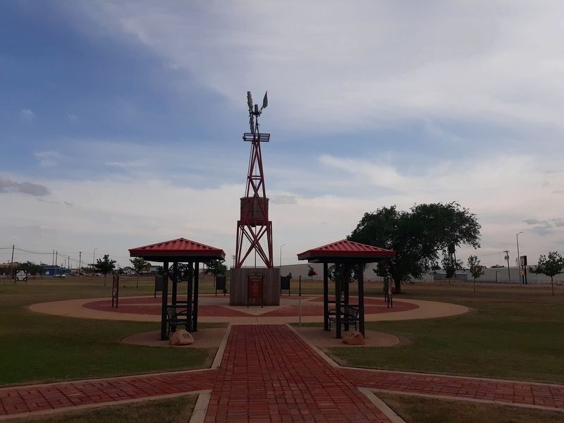
Location. 33° 11.685′ N, 102° 16.52′ W. Marker is in Brownfield, Texas, in Terry County. Marker is on Lubbock Road (U.S. 62), on the right when traveling south. The marker is on the grounds of Hamilton Park. Touch for map. Marker is in this post office area: Brownfield TX 79316, United States of America. Touch for directions.
Other nearby markers. At least 8 other markers are within walking distance of this marker. Religion, Education, and Medicine (here, next to this marker); Flora and Fauna (here, next to this marker); Law and Order (a few steps from this marker); Ranching (a few steps from this marker); Farming (a few steps from this marker); Business (a few steps from this marker); Patriotism (a few steps from this marker); Oil and Gas (a few steps from this marker). Touch for a list and map of all markers in Brownfield.
Credits. This page was last revised on January 14, 2021. It was originally submitted on January 12, 2021, by Craig Doda of Napoleon, Ohio. This page has been viewed 119 times since then and 5 times this year. Photos: 1, 2. submitted on January 12, 2021, by Craig Doda of Napoleon, Ohio. • J. Makali Bruton was the editor who published this page.

