West Columbia in Brazoria County, Texas — The American South (West South Central)
Columbia's Role in the Discontent
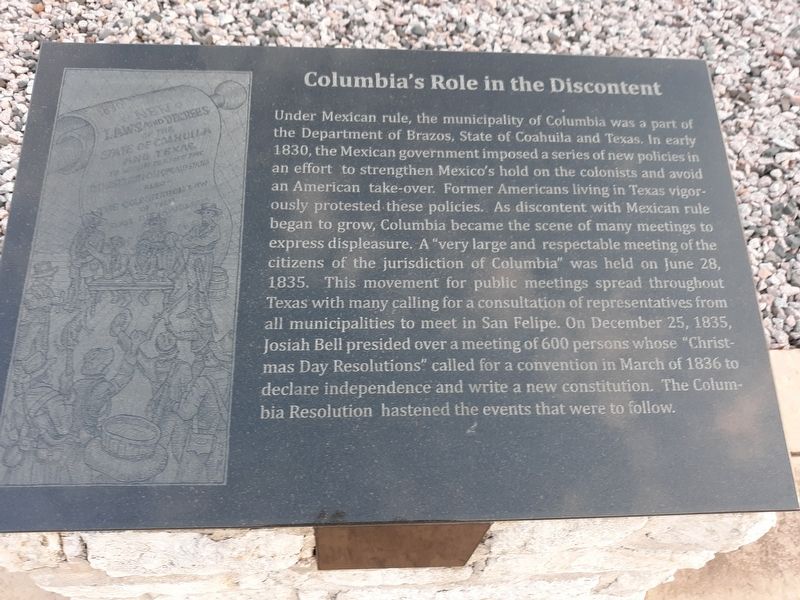
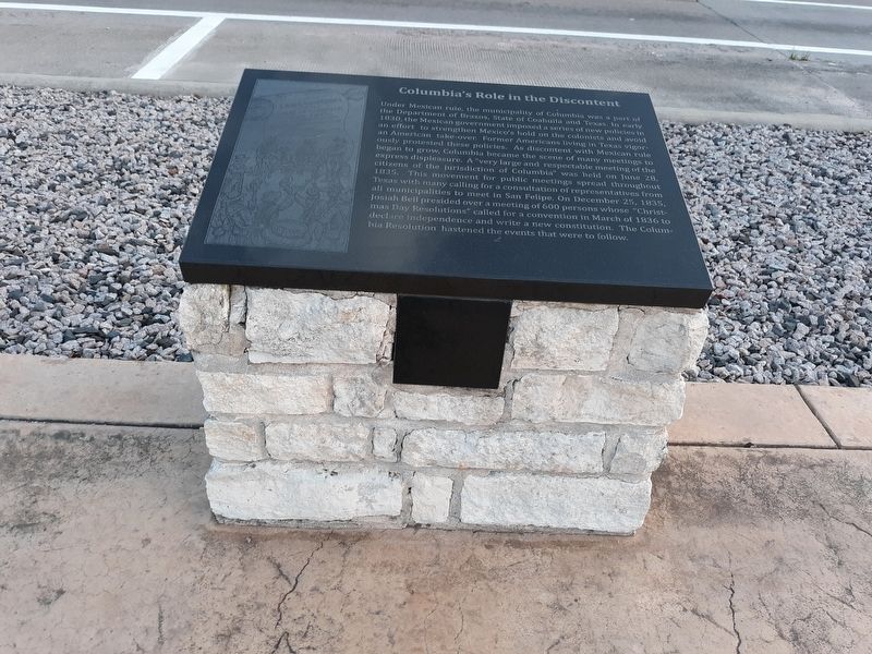
Under Mexican rule, the municipality of Columbia was a part of the Department of Brazos, State of Coahuila and Texas. In early 1830, the Mexican government imposed a series of new policies in an effort to strengthen Mexico's hold on the colonists and avoid an American take-over. Former Americans living in Texas vigorously protested these policies. As discontent with Mexican rule began to grow, Columbia became the scene of many meetings to express displeasure. A "very large and respectable meeting of the citizens of the jurisdiction of Columbia” was held on June 28, 1835. This movement for public meetings spread throughout Texas with many calling for a consultation of representatives from all municipalities to meet in San Felipe. On December 25, 1835, Josiah Bell presided over a meeting of 600 persons whose "Christmas Day Resolutions” called for a convention in March of 1836 to declare independence and write a new constitution. The Columbia Resolution hastened the events that were to follow.
Topics. This historical marker is listed in this topic list: War, Texas Independence. A significant historical date for this entry is June 28, 1835.
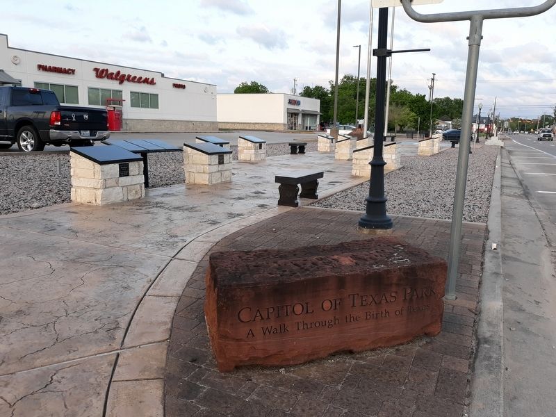
Location. 29° 8.681′ N, 95° 38.865′ W. Marker is in West Columbia, Texas, in Brazoria County. Marker is at the intersection of East Brazos Avenue ( State Highway 35) and North 17th Street, on the right when traveling west on East Brazos Avenue. Touch for map. Marker is in this post office area: West Columbia TX 77486, United States of America. Touch for directions.
Other nearby markers. At least 8 other markers are within walking distance of this marker. The Runaway Scrape (here, next to this marker); Josiah Hughes Bell 1791-1838 (here, next to this marker); General Antonio Lopez de Santa Anna (here, next to this marker); Selection of Columbia (here, next to this marker); Sam Houston, First President of the Republic (here, next to this marker); The Old Three Hundred (here, next to this marker); Problems Facing the New Republic (a few steps from this marker); The Capitol Buildings (a few steps from this marker). Touch for a list and map of all markers in West Columbia.
Credits. This page was last revised on January 16, 2021. It was originally submitted on January 12, 2021, by Craig Doda of Napoleon, Ohio. This page has been viewed 138 times since then and 18 times this year. Photos: 1, 2, 3, 4. submitted on January 12, 2021, by Craig Doda of Napoleon, Ohio. • Bill Pfingsten was the editor who published this page.


