Brownsville in Cameron County, Texas — The American South (West South Central)
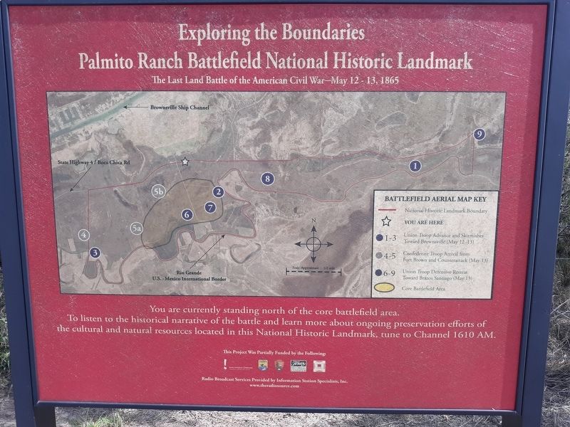
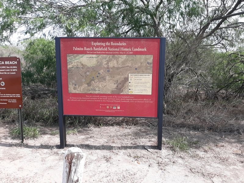
Exploring The Boundaries
Palmito Ranch Battlefield National Historic Landmark
— The Last Land Battle of the American Civil War—May 12 - 13, 1865 —
Topics. This historical marker is listed in this topic list: War, US Civil. A significant historical date for this entry is May 12, 1865.
Location. 25° 57.693′ N, 97° 18.09′ W. Marker is in Brownsville, Texas, in Cameron County. Marker is on Boca Chica Boulevard (State Highway 4) 0.2 miles Palmito Hill Road, on the right when traveling east. Touch for map. Marker is in this post office area: Brownsville TX 78521, United States of America. Touch for directions.
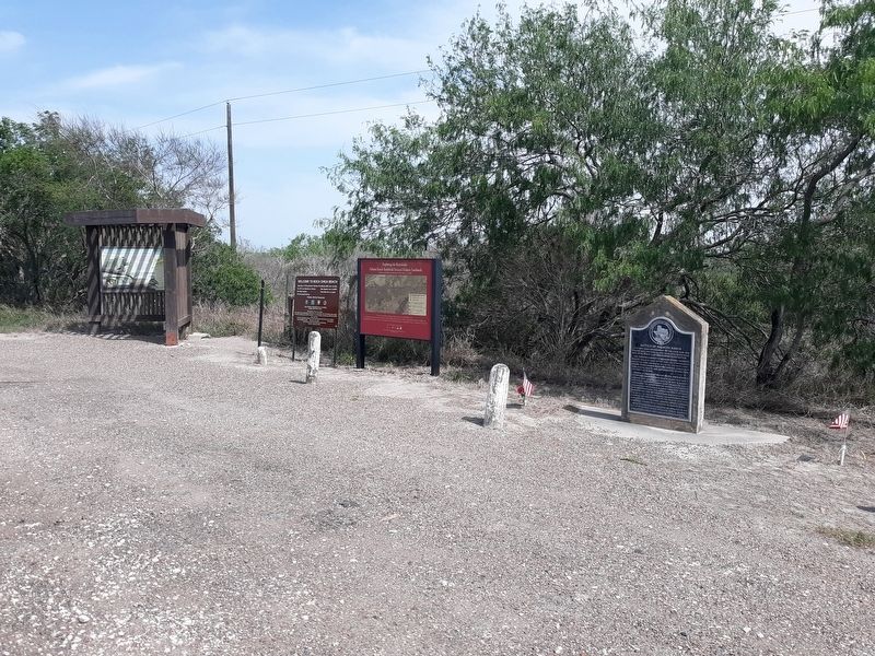
Other nearby markers. At least 8 other markers are within 7 miles of this marker, measured as the crow flies. Palmito Ranch Battlefield: Last Clash of the Blue and the Gray (here, next to this marker); Battle of Palmito Ranch (here, next to this marker); Last Battle of the Civil War (approx. 0.2 miles away); Divided Loyalties: Hispanics in the Civil War (approx. 0.2 miles away); The High Price of Cotton (approx. 0.2 miles away); a different marker also named The Battle of Palmito Ranch (approx. 0.2 miles away); Site of Camp Belknap (approx. 4.4 miles away); Port of Brownsville (approx. 6.9 miles away). Touch for a list and map of all markers in Brownsville.
Credits. This page was last revised on January 15, 2021. It was originally submitted on January 13, 2021, by Craig Doda of Napoleon, Ohio. This page has been viewed 173 times since then and 21 times this year. Photos: 1, 2, 3. submitted on January 13, 2021, by Craig Doda of Napoleon, Ohio. • Bernard Fisher was the editor who published this page.


