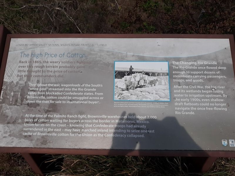
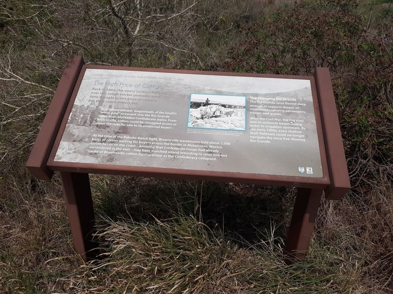
The High Price of Cotton
Lower Rio Grande Valley National Wildlife Refuge Palmito Battlefield
Throughout the war, wagonloads of the South's "white gold” streamed into the Rio Grande Valley from blockaded Confederate states. From Brownsville, cotton could be smuggled across or down the river for sale to international buyers.
At the time of the Palmito Ranch fight, Brownsville warehouses held about 2,000 bales of cotton waiting for buyers across the border in Matamoros, Mexico. Union forces on the coast - knowing that Confederate troops had already surrendered in the east - may have marched inland intending to seize one last cache of Brownsville cotton for the Union as the Confederacy collapsed.
The Changing Rio Grande
The Rio Grande once flowed deep enough to support dozens of steamboats carrying passengers, troops, and goods.
After the Civil War, the big river and its wetlands began losing water to irrigation upstream. By the early 1900s, even shallow-draft flatboats could no longer navigate the once free-flowing Rio Grande.
(caption)
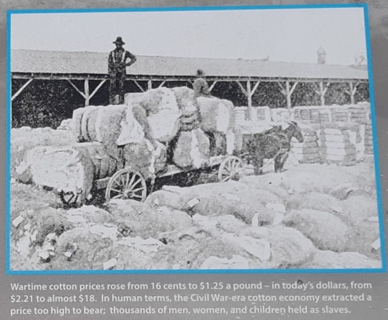
Wartime cotton prices rose from 16 cents to $1.25 a pound - in today's dollars, from $2.21 to almost $18. In human terms, the Civil War-era cotton economy extracted a price too high to bear;
thousands of men, women, and children held as slaves.
Topics. This historical marker is listed in these topic lists: African Americans • Industry & Commerce • War, US Civil. A significant historical year for this entry is 1865.
Location. 25° 57.57′ N, 97° 18.202′ W. Marker is in Brownsville, Texas, in Cameron County. Marker can be reached from Palmito Hill Road, 0.1 miles south of Boca Chica Boulevard (State Highway 4), on the right when traveling south. Touch for map. Marker is in this post office area: Brownsville TX 78521, United States of America. Touch for directions.
Other nearby markers. At least 8 other markers are within 7 miles of this marker, measured as the crow flies. Divided Loyalties: Hispanics in the Civil War (here, next to this marker); The Battle of Palmito Ranch (here, next to this marker); Last Battle of the Civil War (a few steps from this marker); a different marker also named Battle of Palmito Ranch (approx. 0.2 miles away); Exploring The Boundaries (approx. 0.2 miles away); Palmito Ranch Battlefield: Last Clash of the Blue and the Gray (approx. 0.2 miles away); Site of Camp Belknap (approx. 4.6 miles away); Port of Brownsville (approx. 6.7 miles away). Touch for a list and map of all markers in Brownsville.
Credits. This page was last revised on January 15, 2021. It was originally submitted on January 13, 2021, by Craig Doda of Napoleon, Ohio. This page has been viewed 221 times since then and 29 times this year. Photos: 1, 2, 3, 4. submitted on January 13, 2021, by Craig Doda of Napoleon, Ohio. • Bernard Fisher was the editor who published this page.


