
Brownsville in Cameron County, Texas — The American South (West South Central)
Neale Home
Brownsville Heritage Trail
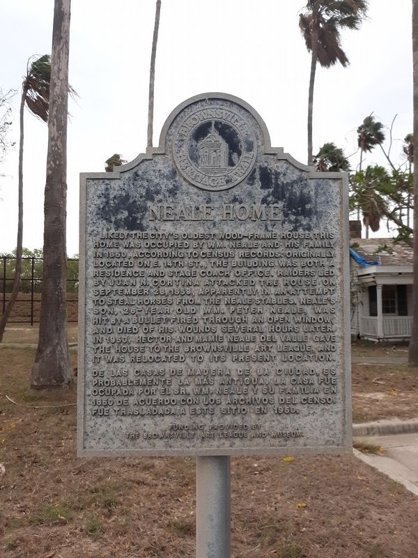
Photographed by Craig Doda, May 8, 2020
1. Neale Home Marker

Erected by Brownsville Art League and Museum.
Topics. This historical marker is listed in these topic lists: Architecture • Settlements & Settlers. A significant historical date for this entry is September 28, 1859.
Location. 25° 53.63′ N, 97° 29.701′ W. Marker is in Brownsville, Texas, in Cameron
this page online

Regionally, this marker is in South Texas. It is also in the American South and on the Gulf Coast. Globally, it is in North America, a Gulf of Mexico state, the Western Hemisphere, the Western World, and the Anglosphere. Historically, it finds itself in what was once New Spain, the Republic of Texas, and one of the Confederate States of America.
Other nearby markers. At least 8 other markers are within walking distance of this marker: Neale House (a few steps from this marker); a different marker also named Neale House (a few steps from this marker); The Oldest House in Brownsville (a few steps from this marker); Fort Brown, Texas (approx. 0.3 miles away); Commandant's Quarters (approx. 0.3 miles away); Post Hospital Annex (approx. 0.3 miles away); a different marker also named Post Hospital Annex (approx. 0.4 miles away); Post Hospital (approx. 0.4 miles away).
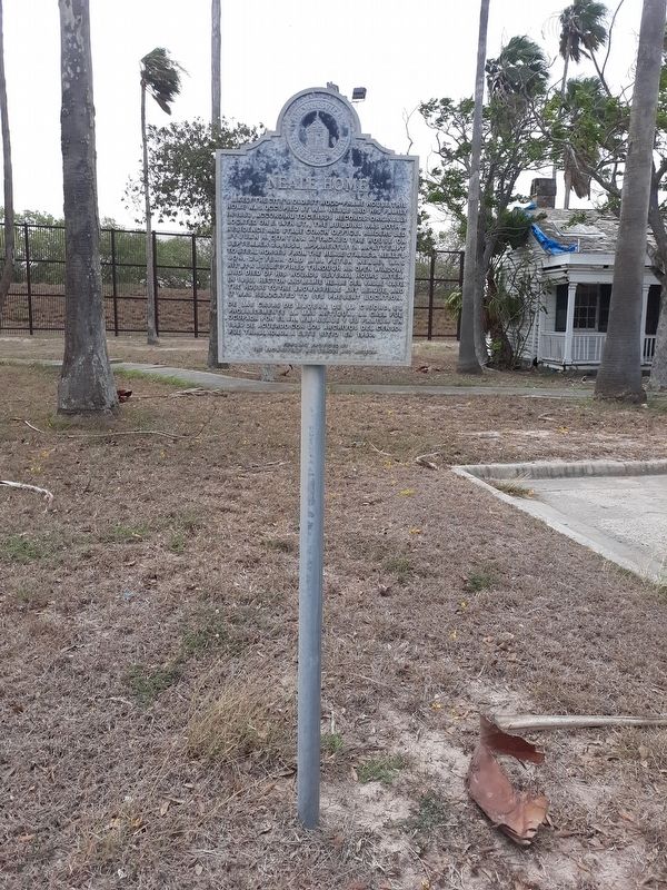
Photographed by Craig Doda, May 8, 2020
2. Neale Home Marker
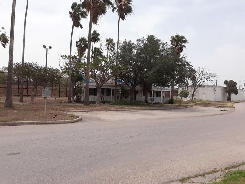
Photographed by Craig Doda, May 8, 2020
3. Neale Home and Marker
Credits. This page was last revised on August 11, 2024. It was originally submitted on January 13, 2021, by Craig Doda of Napoleon, Ohio. This page has been viewed 343 times since then and 26 times this year. Photos: 1, 2, 3. submitted on January 13, 2021, by Craig Doda of Napoleon, Ohio. • J. Makali Bruton was the editor who published this page.
