Near Ekalaka in Carter County, Montana — The American West (Mountains)
Home on the Range

Photographed By Barry Swackhamer, September 12, 2020
1. Home on the Range Marker
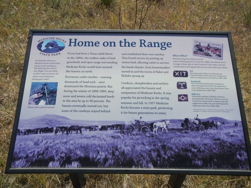
Captions: (upper left) For decades visitors to Medicine Rocks etched their names in the sandstone. But defacing the rocks is now illegal. Can you think of other ways to protect the park's natural features during you visit? Please take a photo instead.; (background at the bottom) "Roundup outfits on the move, 4:30 A.M. Old Powder River days." "SH WL 70L N"
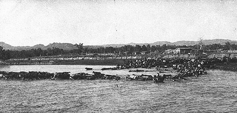
Enormous cattle ranches - running thousands of head each - once dominated the Montana prairie. But during the winter of 1888-1889, deep snow and severe cold decimated herds in the area by up to 90 percent. The barons eventually moved out, but some of the cowboys stayed behind and established their own ranches. They found success by putting up winter feed, allowing cattle to survive the harsh climate. Soon homesteaders moved in and the towns of Baker and Ekalaka sprang up.
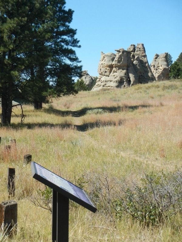
Cowboys, sheepherders and settlers all appreciated the beauty and uniqueness of Medicine Rocks. It was popular for picnicking in the spring, summer and fall. In 1957 Medicine Rocks became a state park, protecting it for future generations to enjoy.
Who's Who?
With the range free of fences on the eastern Montana prairie in the late 1880s, how did everyone manage to keep tabs on their livestock" Like today, ranchers used brands to distinguish their horses and cattle from others.
XIT Operating north of Miles City, Montana, the Capital Freehold Land & Investment Company ran cattle wearing this famous brand from 1886-1908.
Hashknife The Continental Land & Cattle Company ran cattle wearing this brand from the southeastern corner of Montana east to the Little Missouri River in the Dakotas from 1880-1889.
Mill Iron A tiny town southeast of Ekalaka, Montana was named after this brand, which was worn by Continental Land & Cattle Company cattle that ranged west to Miles City and north beyond the Yellowstone River from 1880-1894.
Erected by Medicine Rocks State Park.
Topics. This historical marker is listed in these topic lists: Animals • Parks & Recreational Areas.
Location. 46° 2.443′ N, 104° 27.888′ W. Marker is near Ekalaka, Montana, in Carter County. Marker can be reached from Park Entrance Road near State Highway 7. The marker is on the Dalton Trail in Medicine Rock State Park. Touch for map. Marker is in this post office area: Ekalaka MT 59324, United States of America. Touch for directions.
Other nearby markers. At least 7 other markers are within 12 miles of this marker, measured as the crow flies. A River Ran Through It (about 700 feet away, measured in a direct line); Inyan Oka-lo-ka / Medicine Rocks State Park (approx. half a mile away); A Fantastically Beautiful Place: The Medicine Rocks (approx. half a mile away); Prairie Island (approx. 0.6 miles away); Inyan-oka-la-ka (approx. 0.7 miles away); Ekalaka (approx. 10.1 miles away); First National Bank of Ekalaka / Rickard Hardware Building (approx. 11.1 miles away).
Credits. This page was last revised on January 13, 2021. It was originally submitted on January 13, 2021, by Barry Swackhamer of Brentwood, California. This page has been viewed 136 times since then and 16 times this year. Photos: 1, 2, 3. submitted on January 13, 2021, by Barry Swackhamer of Brentwood, California.

