Near Rosebud in Rosebud County, Montana — The American West (Mountains)
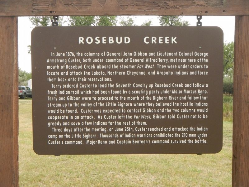
Rosebud Creek
Terry ordered Custer to lead the Seventh Cavalry up Rosebud Creek and follow a fresh Indian trail which had been found by a scouting party under Major Marcus Reno. Terry and Gibbon were to proceed to the mouth of the Bighorn River and follow that stream up to the valley of the Little Bighorn where they believed the hostile Indians would be found. Custer was expected to contact Gibbon and the two columns would cooperate in the attack. As Custer left the Far West, Gibbon told Custer not to be greedy and save a few Indians for the rest of them.
Three days after the meeting, on June 25th, Custer reached and attacked the Indian camp on the Little Bighorn. Thousands of Indian warriors annihilated the 210 men under Custer's command. Major Reno and Captain Benteen's command survived the battle.
Erected by Montana Department of Transportation.
Topics. This historical marker is listed in this topic list: Wars, US Indian .
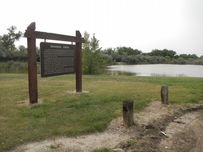
Location. 46° 16.813′ N, 106° 28.497′ W. Marker is near Rosebud, Montana, in Rosebud County. Marker can be reached from Fishing Access Road near State Highway 446. The marker is located on a side-road, south of the westbound Fishing Access Road. Touch for map. Marker is in this post office area: Rosebud MT 59347, United States of America. Touch for directions.
Other nearby markers. At least 8 other markers are within 9 miles of this marker, measured as the crow flies. Ready to March (approx. half a mile away); The Seventh Passes in Review (approx. 1˝ miles away); St. Philip's Episcopal Church (approx. 1.7 miles away); Scouting South of the Yellowstone (approx. 2.4 miles away); Grave of Unknown Man (approx. 6.8 miles away); Join the Voyage of Discovery (approx. 8.1 miles away); The Hell Creek Formation (approx. 8.1 miles away); Cattle Brands (approx. 8.1 miles away). Touch for a list and map of all markers in Rosebud.
Credits. This page was last revised on January 13, 2021. It was originally submitted on January 13, 2021, by Barry Swackhamer of Brentwood, California. This page has been viewed 336 times since then and 41 times this year. Photos: 1, 2. submitted on January 13, 2021, by Barry Swackhamer of Brentwood, California.

