Brentwood in Williamson County, Tennessee — The American South (East South Central)
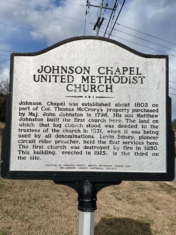
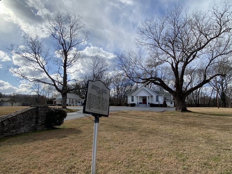
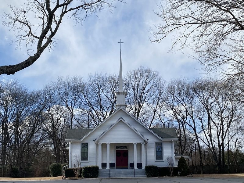
Johnson Chapel United Methodist Church
Erected 1990 by Johnson Chapel United Methodist Church and the Williamson County Historical Society.
Topics and series. This historical marker is listed in this topic list: Churches & Religion. In addition, it is included in the Tennessee – Williamson County Historical Society series list. A significant historical year for this entry is 1803.
Location. 36° 2.197′ N, 86° 49.309′ W. Marker is in Brentwood, Tennessee, in Williamson County. Marker is at the intersection of High Lea Road and Maryland Way, on the right when traveling south on High Lea Road. Touch for map. Marker is at or near this postal address: 6020 High Lea Rd, Brentwood TN 37027, United States of America. Touch for directions.
Other nearby markers. At least 8 other markers are within 2 miles of this marker, measured as the crow flies. Battle of Nashville (approx. one mile away); The Stone Box Indian Site (approx. 1.2 miles away); Vanderbilt Dyer Observatory (approx. 1.4 miles away); Midway Plantation Slave Cemetery (approx. 1.7 miles away); Brentwood United Methodist Church (approx. 1.8 miles away); Forrest's Brentwood Raid (approx. 1.9 miles away); Davidson County / Williamson County (approx. 1.9 miles away); Mooreland (approx. 1.9 miles away). Touch for a list and map of all markers in Brentwood.
Credits. This page was last revised on January 15, 2021. It was originally submitted on January 15, 2021, by Darren Jefferson Clay of Duluth, Georgia. This page has been viewed 201 times since then and 26 times this year. Photos: 1, 2, 3, 4. submitted on January 15, 2021, by Darren Jefferson Clay of Duluth, Georgia. • Devry Becker Jones was the editor who published this page.


