Brentwood in Williamson County, Tennessee — The American South (East South Central)
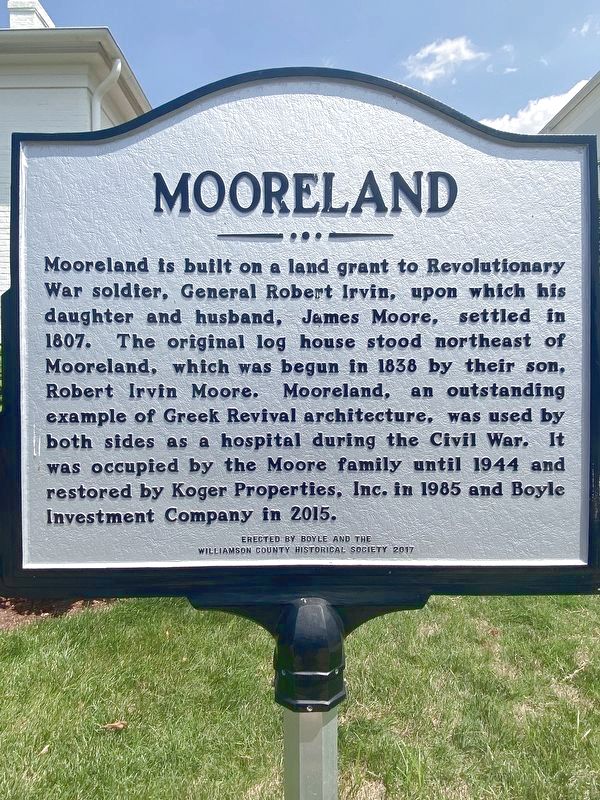
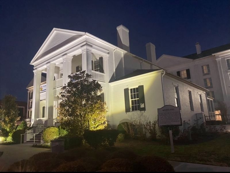
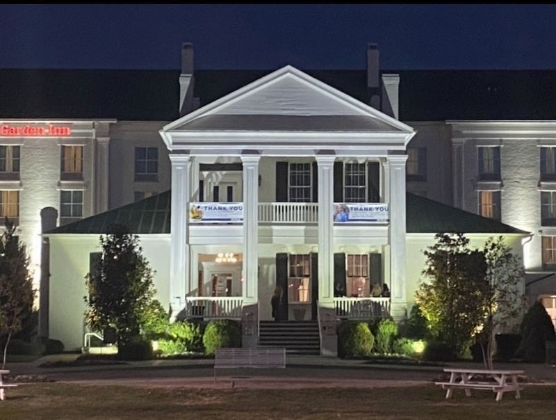
Mooreland
Erected 2017 by Boyle and The Williamson County Historical Society.
Topics and series. This historical marker is listed in these topic lists: Architecture • Settlements & Settlers • War, US Civil • War, US Revolutionary. In addition, it is included in the Tennessee – Williamson County Historical Society series list.
Location. 36° 1.762′ N, 86° 47.309′ W. Marker is in Brentwood, Tennessee, in Williamson County. Marker is on Executive Center Drive, 0.1 miles east of Franklin Road (U.S. 31), on the right when traveling west. Touch for map. Marker is at or near this postal address: 7100 Executive Center Dr, Brentwood TN 37027, United States of America. Touch for directions.
Other nearby markers. At least 8 other markers are within one mile of this marker, measured as the crow flies . Brentwood United Methodist Church (approx. 0.3 miles away); Forrest's Brentwood Raid (approx. 0.3 miles away); Davidson County / Williamson County (approx. 0.4 miles away); Hardscuffle Community (approx. half a mile away); Nobles Corner (approx. half a mile away); Owen-Moore Cemetery (approx. 0.7 miles away); Hood's Retreat (approx. one mile away); The Stone Box Indian Site (approx. one mile away). Touch for a list and map of all markers in Brentwood.
Credits. This page was last revised on September 12, 2022. It was originally submitted on January 15, 2021, by Darren Jefferson Clay of Duluth, Georgia. This page has been viewed 254 times since then and 25 times this year. Photos: 1. submitted on September 11, 2022, by Darren Jefferson Clay of Duluth, Georgia. 2, 3. submitted on January 15, 2021, by Darren Jefferson Clay of Duluth, Georgia. • Bernard Fisher was the editor who published this page.


