Ennis in Ellis County, Texas — The American South (West South Central)
Myrtle Cemetery
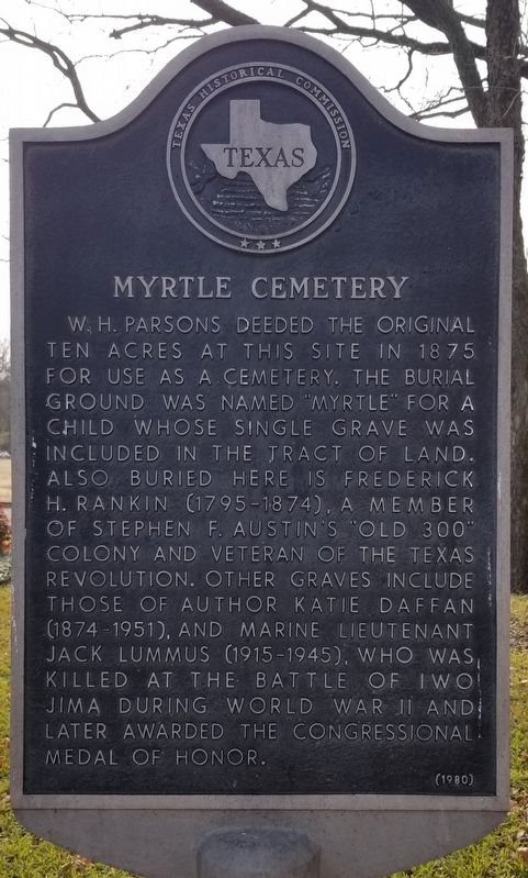
W.H. Parsons deeded the original ten acres at this site in 1875 for use as a cemetery. The burial ground was named "Myrtle" for a child whose single grave was included in the tract of land. Also buried here is Frederick H. Ranklin (1795-1874), a member of Stephen F. Austin's "Old 300" colony and veteran of the Texas Revolution. Other graves include those of author Katie Daffan (1874-1951), and Marine Lieutenant Jack Lummus (1915-1945), who was killed at the battle of Iwo Jima during World War II and later awarded the Congressional Medal of Honor.
Erected 1980 by Texas Historical Commission. (Marker Number 7132.)
Topics. This historical marker is listed in this topic list: Cemeteries & Burial Sites. A significant historical year for this entry is 1875.
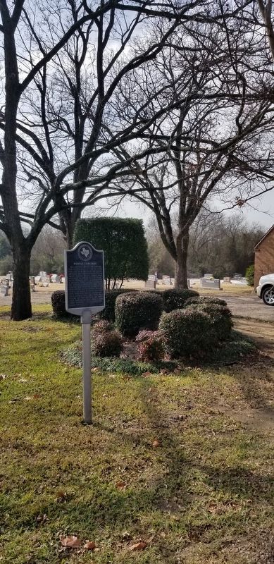
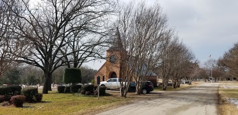
Location. 32° 19.431′ N, 96° 38.372′ W. Marker is in Ennis, Texas, in Ellis County. Marker can be reached from the intersection of West Knox Street and Glasscock Street. The marker is located in the eastern section of the Myrtle Cemetery. Touch for map. Marker is in this post office area: Ennis TX 75119, United States of America. Touch for directions.
Other nearby markers. At least 8 other markers are within walking distance of this marker. Wayman Chapel African Methodist Episcopal Church (about 700 feet away, measured in a direct line); Frederick Harrison Rankin (approx. 0.2 miles away); Jack Lummus (approx. half a mile away); Moore House (approx. 0.6 miles away); Burnam Square and Cemetery (approx. 0.6 miles away); LaJuan Schlegel (approx. 0.7 miles away); Minnie McDowal (approx. 0.7 miles away); Ennis National Bank Building (approx. ¾ mile away). Touch for a list and map of all markers in Ennis.
Credits. This page was last revised on January 16, 2021. It was originally submitted on January 16, 2021, by James Hulse of Medina, Texas. This page has been viewed 336 times since then and 75 times this year. Photos: 1, 2, 3. submitted on January 16, 2021, by James Hulse of Medina, Texas. • J. Makali Bruton was the editor who published this page.


